Explore North Sumatra
Lakes, traditional villages, volcanoes, royal tombs, beaches and waterfalls in the Toba, Karo, Simalungun, Pakpak, Angkola and Mandailing lands, with a map.
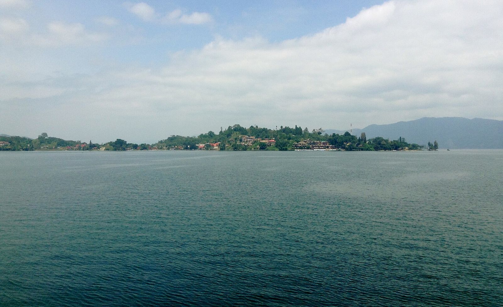 Foto: Christian Advs Sltg · Wikimedia Commons · CC BY-SA 3.0
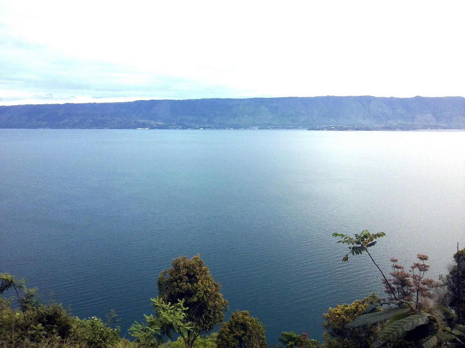 Foto: Miranda samosir · Wikimedia Commons · CC BY-SA 4.0
Tuktuk Siadong
📍 Simanindo, SamosirA small peninsula on the east coast of Samosir Island, the main place to stay and a base for exploring Samosir.
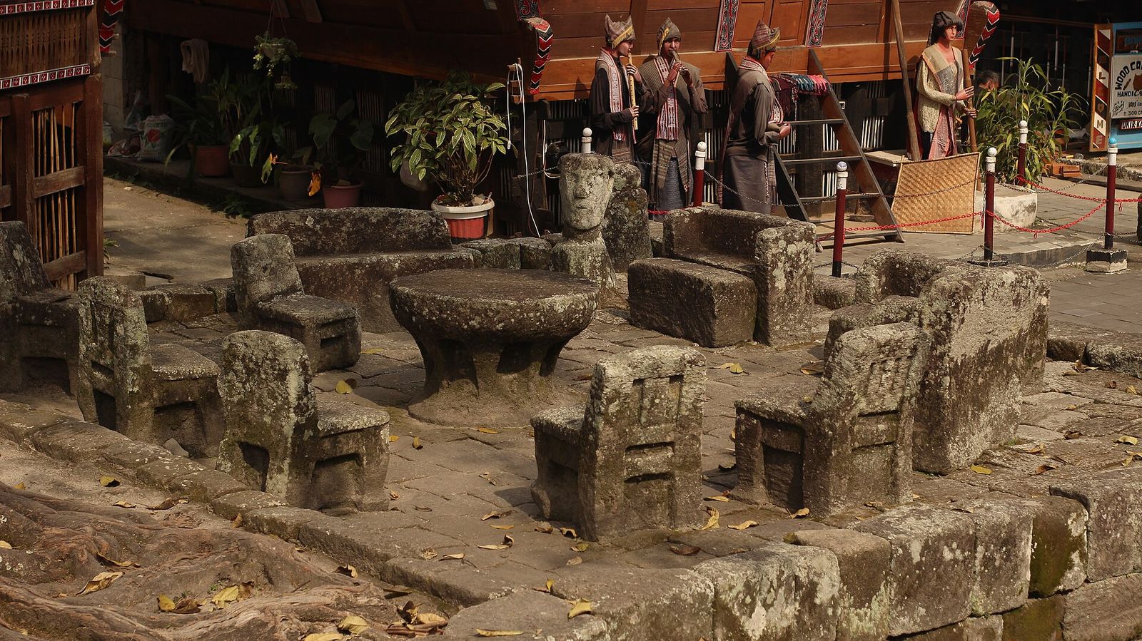 Foto: Nafisathallah · Wikimedia Commons · CC BY-SA 4.0
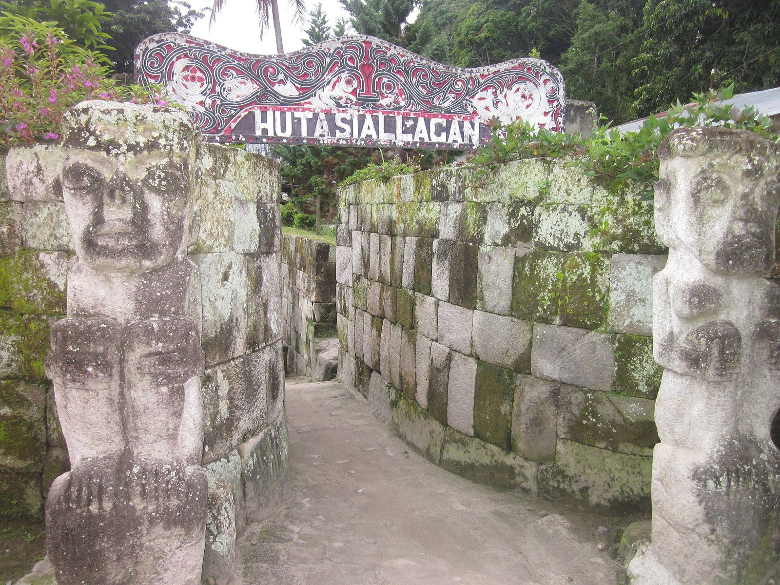 Foto: Ahanpranata · Wikimedia Commons · CC BY-SA 3.0
Huta Siallagan
📍 Ambarita, Simanindo, SamosirA stone-walled traditional village with rows of rumah bolon and the batu parsidangan — stone chairs where the king and elders once met and held court.
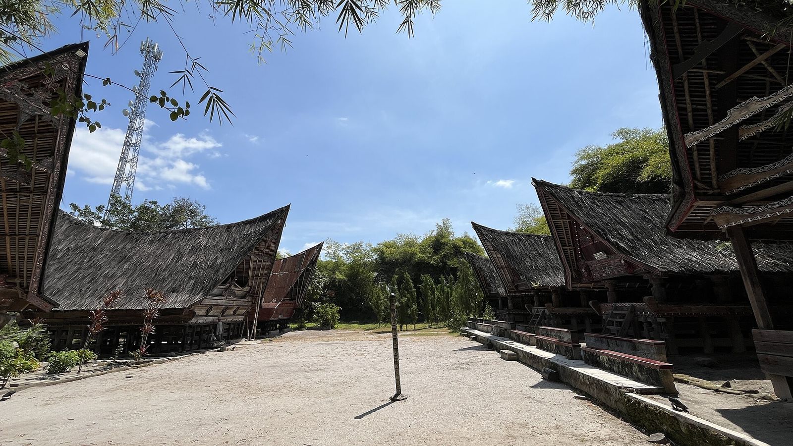 Foto: Nafisathallah · Wikimedia Commons · CC BY-SA 4.0
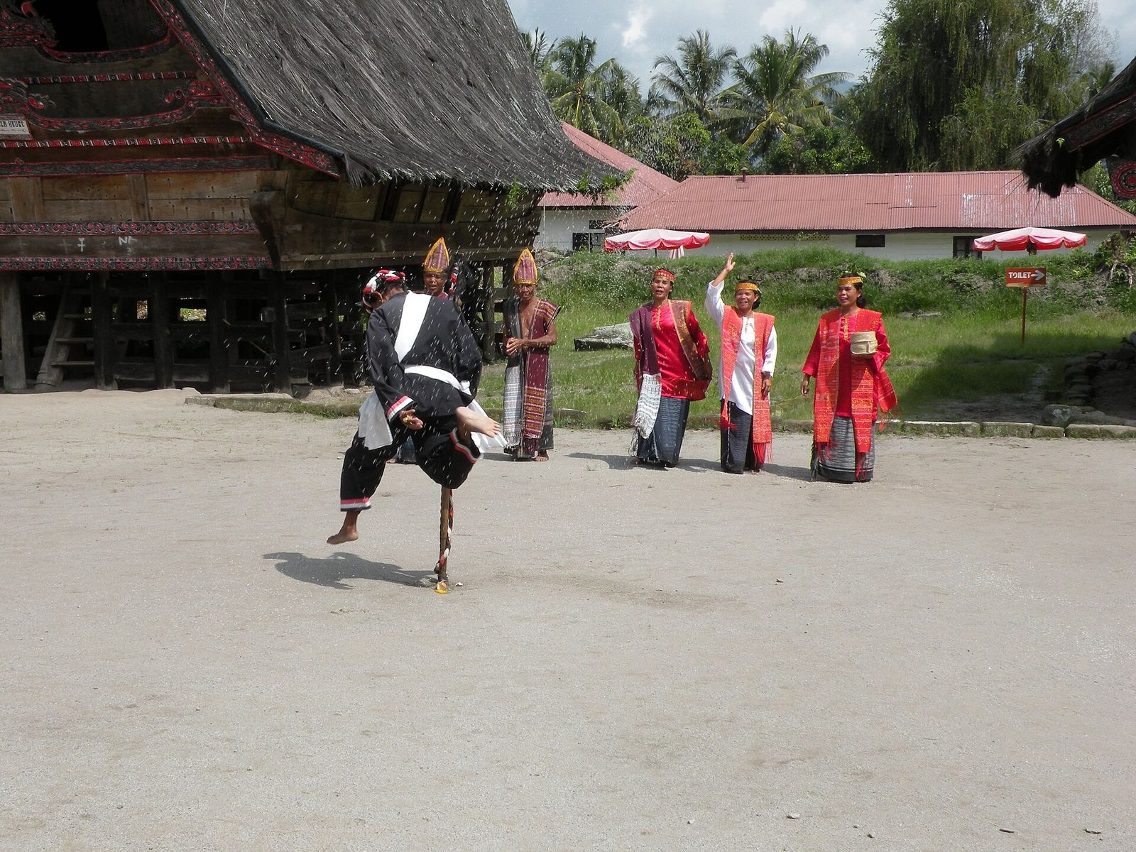 Foto: Reskihasan · Wikimedia Commons · CC BY-SA 4.0
Museum Huta Bolon Simanindo
📍 Simanindo, SamosirA former royal village at the northern tip of Samosir, now a museum with rumah bolon, a royal boat and sigale-gale and tortor performances.
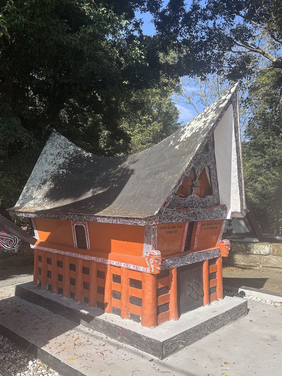 Foto: Really Rin · Wikimedia Commons · CC BY-SA 4.0
Makam Raja Sidabutar
📍 Tomok, Simanindo, SamosirStone sarcophagi of the kings of the Sidabutar marga in Tomok, decorated with carved human faces. Nearby are a souvenir market and sigale-gale performances.
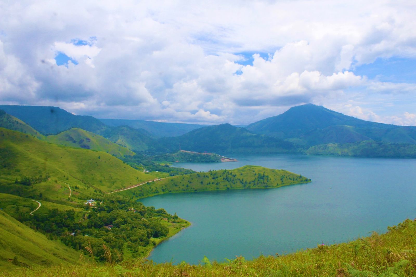 Foto: ButetSinaga · Wikimedia Commons · CC BY-SA 4.0
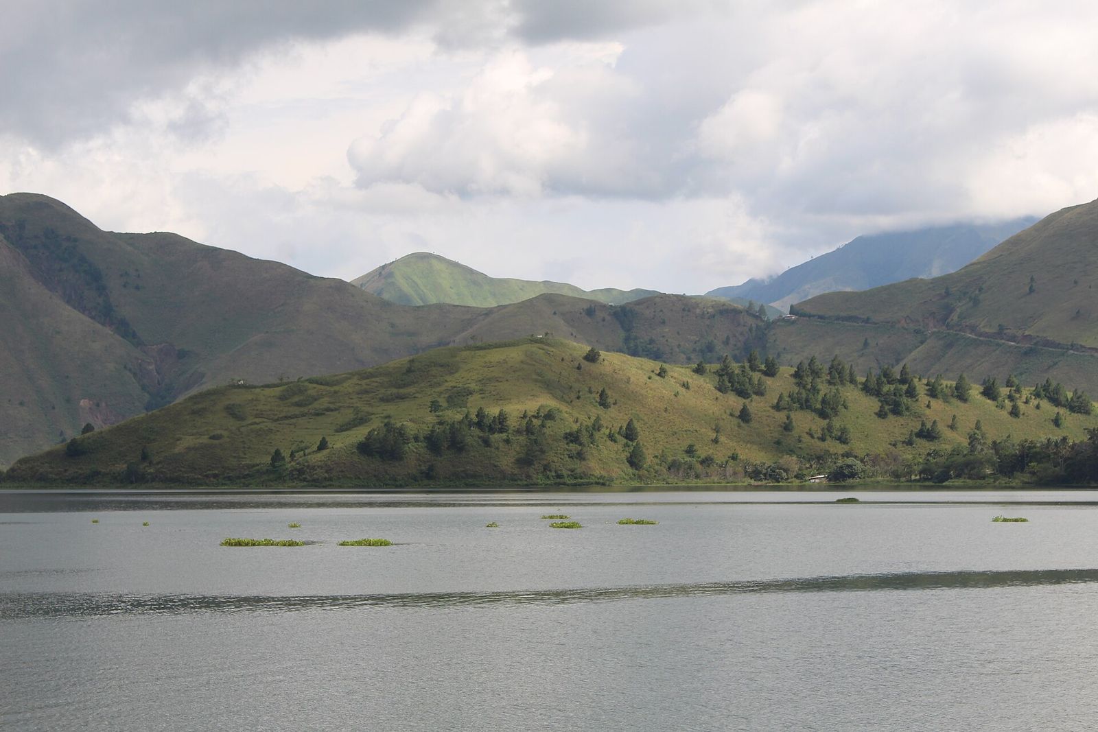 Foto: IHLubis · Wikimedia Commons · CC BY-SA 4.0
Bukit Holbung
📍 Harian, SamosirGrassy hills in south-western Samosir with sweeping views over Lake Toba; popular for sunrise.
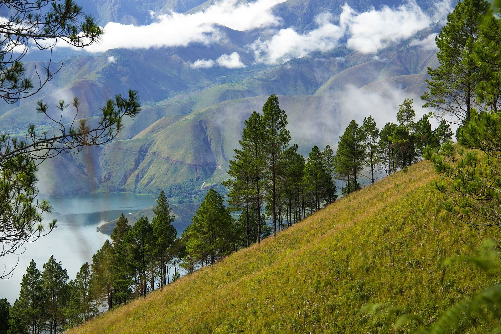 Foto: Ardianjusto · Wikimedia Commons · CC BY-SA 4.0
Pusuk Buhit
📍 Sianjur Mula-mula, SamosirA mountain regarded as sacred, the place of origin of the Batak according to tradition. At its foot lies Sianjur Mula-mula, the village of Si Raja Batak.
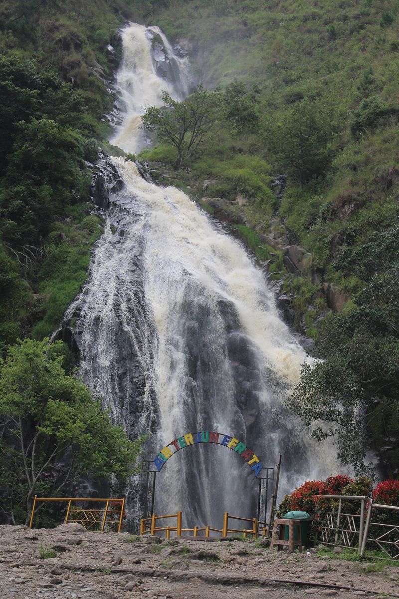 Foto: IHLubis · Wikimedia Commons · CC BY-SA 4.0
Air Terjun Efrata
📍 Sosor Dolok, Harian, SamosirA waterfall in the Samosir highlands, surrounded by pine forest and rice fields.
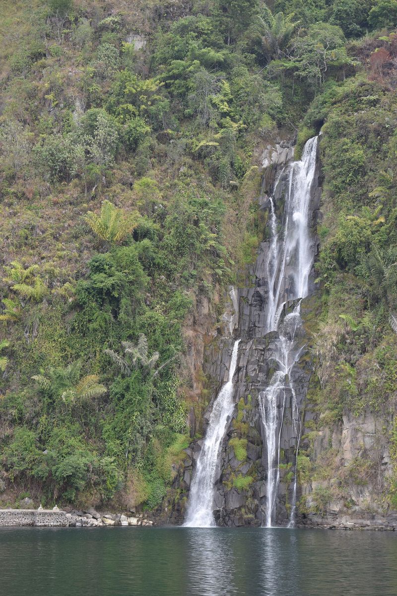 Foto: Gerry Wowiling · Wikimedia Commons · CC BY-SA 4.0
Air Terjun Situmurun (Binangalom)
📍 Lumban Julu, TobaA multi-tiered waterfall that drops straight into Lake Toba; best seen from a boat.
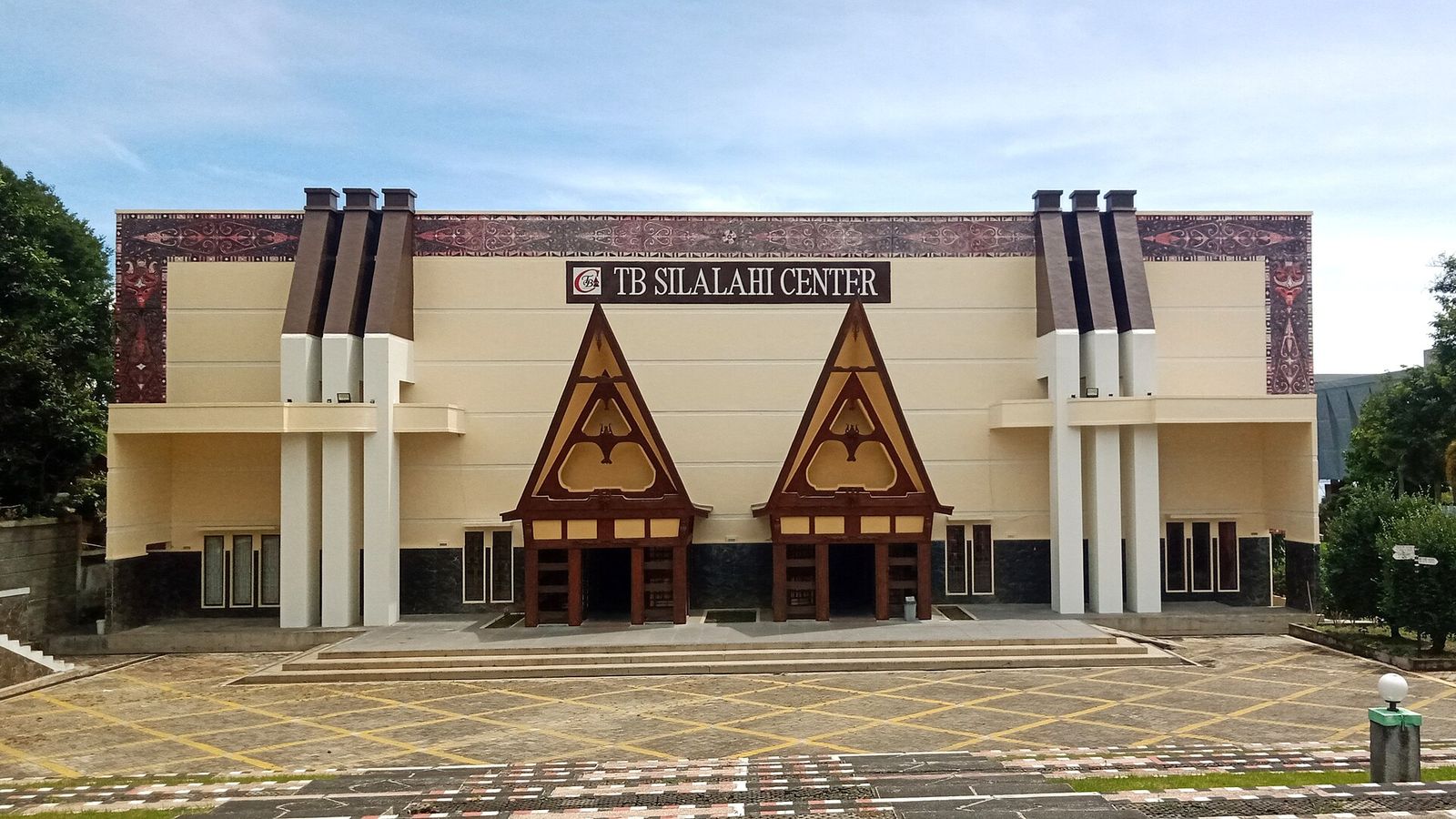 Foto: Macyagin · Wikimedia Commons · CC BY-SA 4.0
TB Silalahi Center
📍 Balige, TobaA cultural complex in Balige with a Batak museum, artefacts, sculptures and traditional houses of various Batak groups.
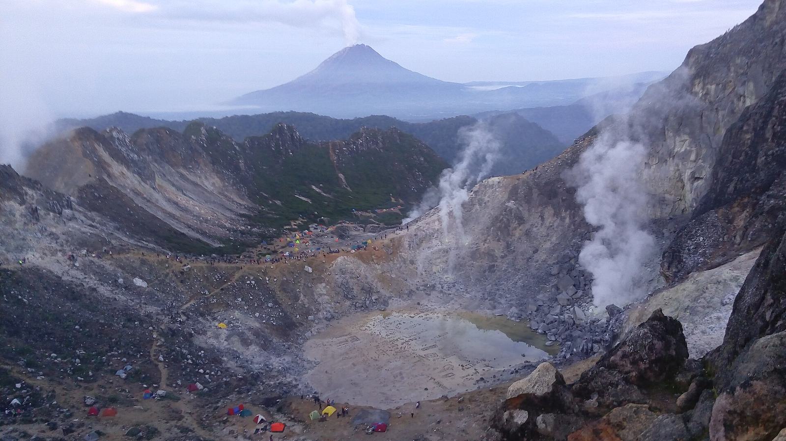 Foto: Palma Bernardo Alexius Hutabarat · Wikimedia Commons · CC BY 2.0 — kawah Sibayak dengan Sinabung
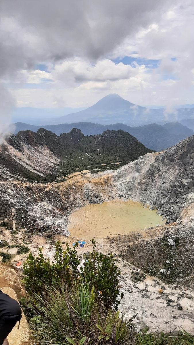 Foto: Ning Gusti · Wikimedia Commons · CC BY 4.0 — kawah dari puncak
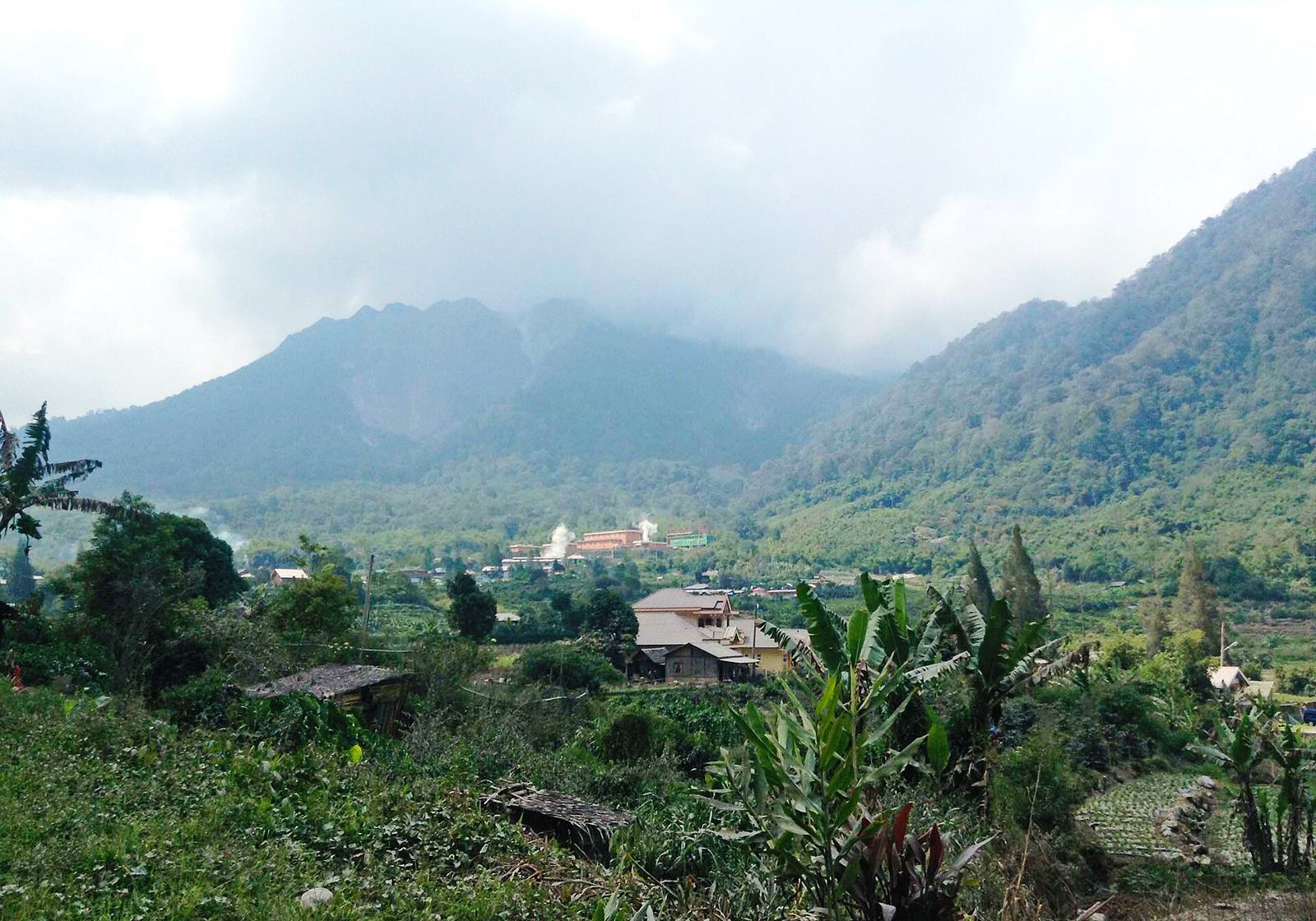 Foto: Christian Advs Sltg · Wikimedia Commons · CC BY-SA 4.0 — dari Semangat Gunung
Gunung Sibayak
📍 MerdekaA volcano of about 2,212 m north of Berastagi. Its Karo name means 'king', and the climb is one of the most beginner-friendly in North Sumatra.
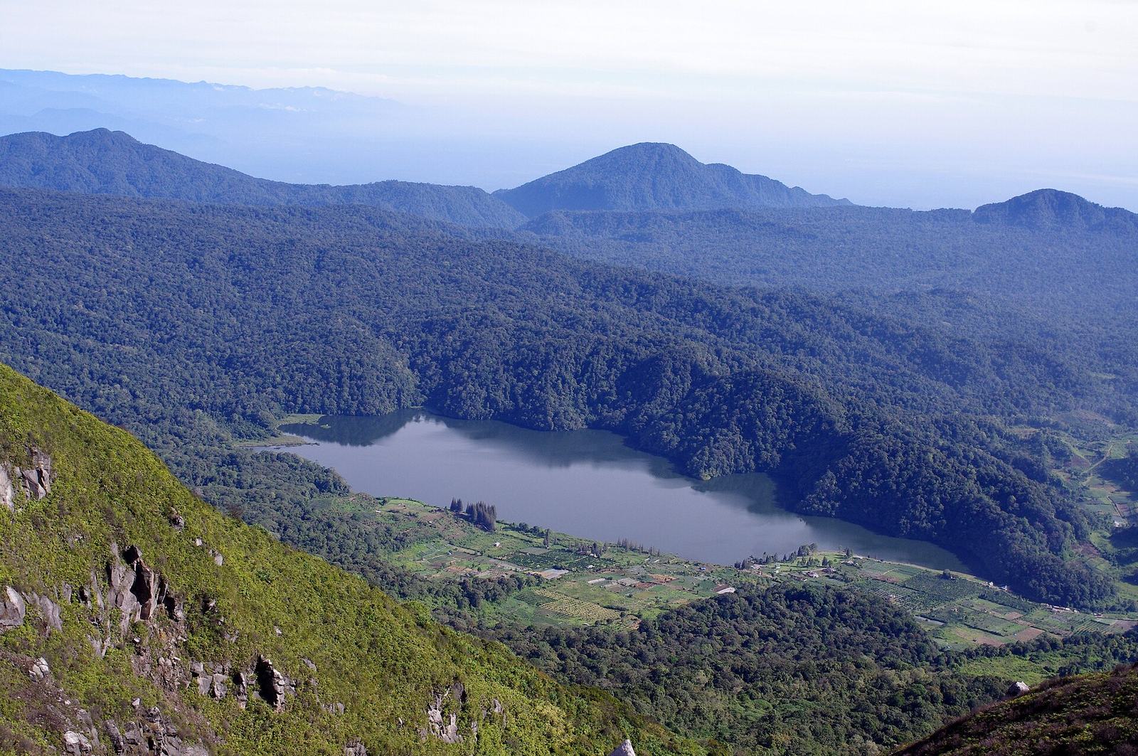 Foto: Bangbeni · Wikimedia Commons · CC BY 2.0
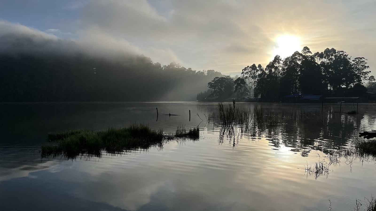 Foto: Nafisathallah · Wikimedia Commons · CC BY-SA 4.0 — matahari terbit
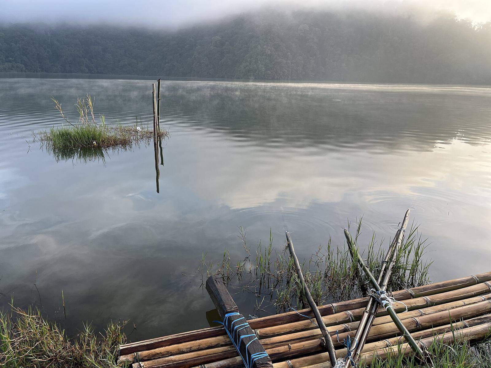 Foto: Nafisathallah · Wikimedia Commons · CC BY-SA 4.0 — rakit bambu
Danau Lau Kawar
📍 Naman TeranA mountain lake of about 200 hectares right at the northern foot of Mount Sinabung. Calm water, surrounding forest and the volcano behind make it a favourite camping spot.
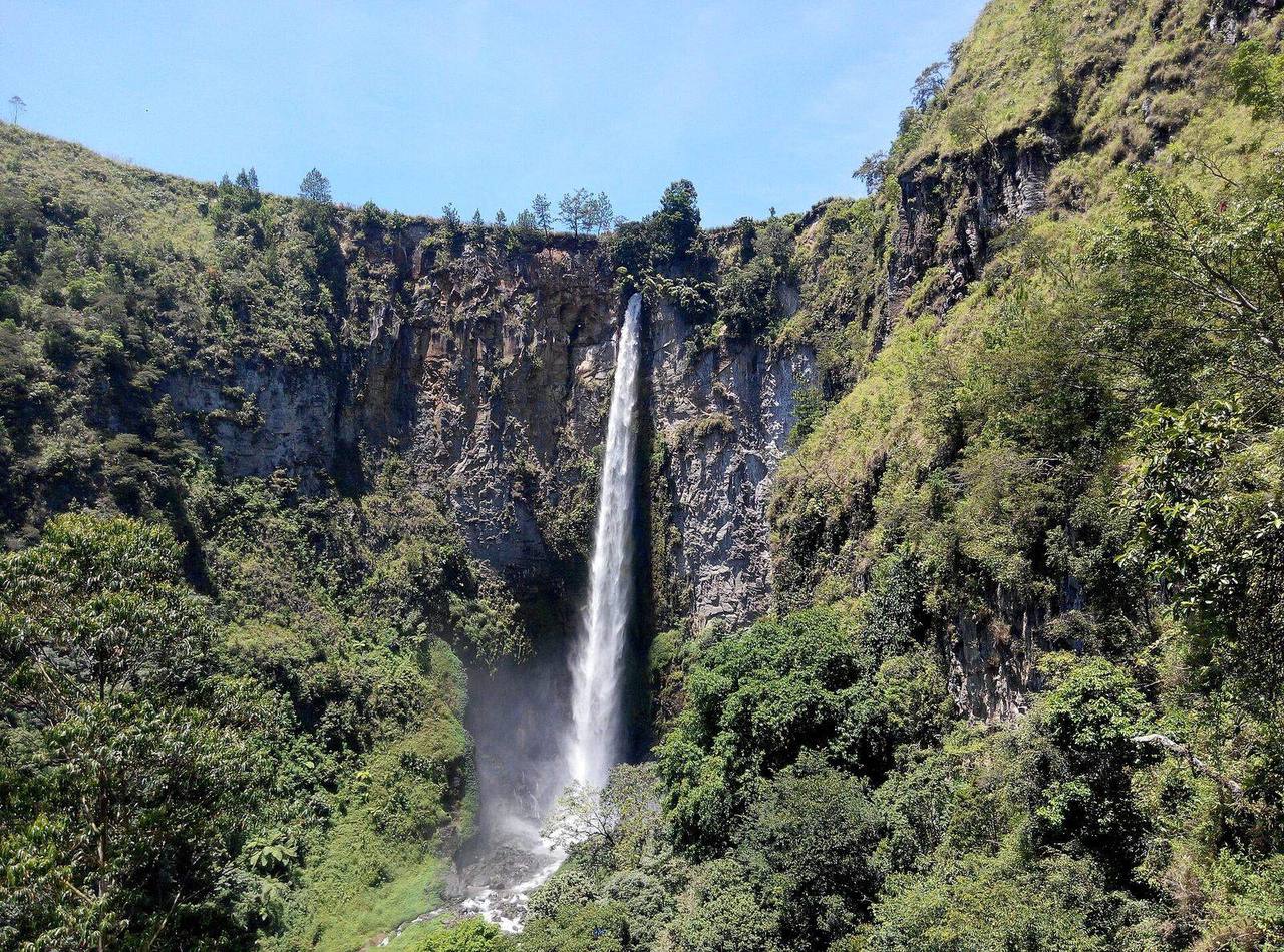 Foto: Hendypernando · Wikimedia Commons · CC BY-SA 4.0
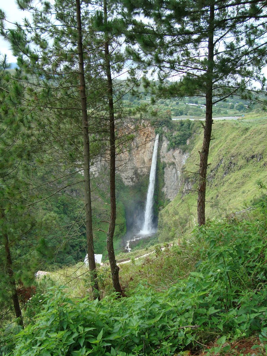 Foto: edowardomd · Wikimedia Commons · CC BY-SA 3.0
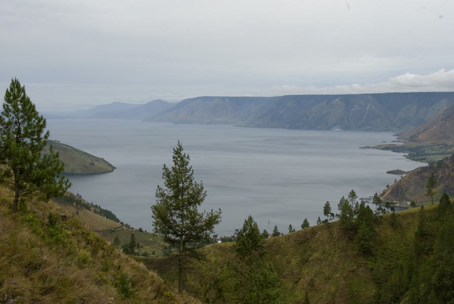 Foto: Yorick · Wikimedia Commons · domain publik — pemandangan Danau Toba
Air Terjun Sipiso-piso
📍 MerekA waterfall about 120 m high dropping from the Karo plateau into the valley at the northern tip of Lake Toba. The viewpoint shows the falls, Lake Toba and Tongging village.
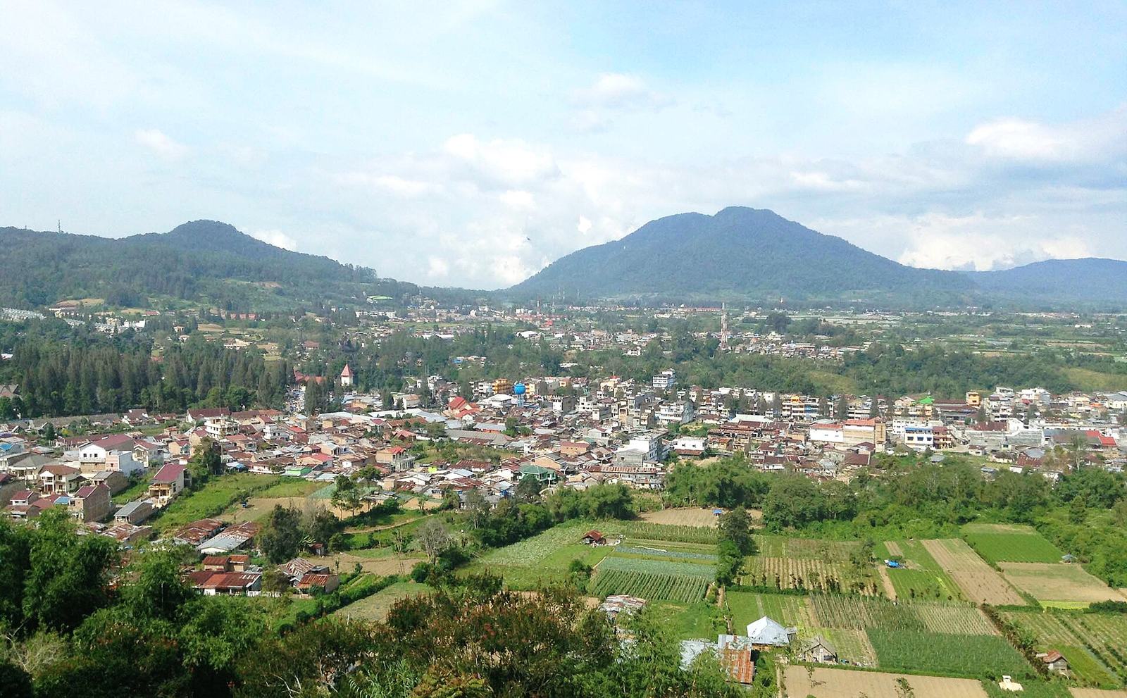 Foto: Christian Advs Sltg · Wikimedia Commons · CC BY-SA 4.0
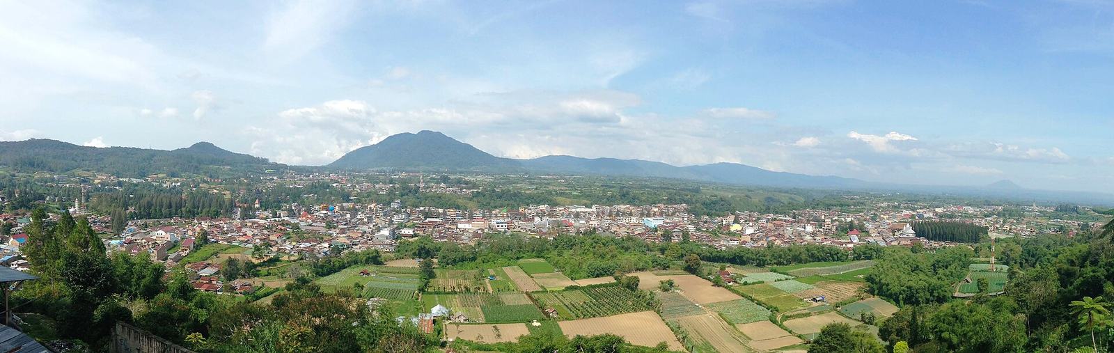 Foto: Christian Advs Sltg · Wikimedia Commons · CC BY-SA 4.0 — panorama
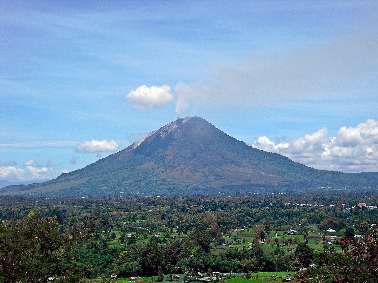 Foto: Kenrick95 · Wikimedia Commons · CC BY-SA 3.0 — Sinabung dari Gundaling, 2010
Bukit Gundaling
📍 BerastagiA park hill on the edge of Berastagi at about 1,575 m, with views over the town and the Sibayak and Sinabung volcanoes behind.
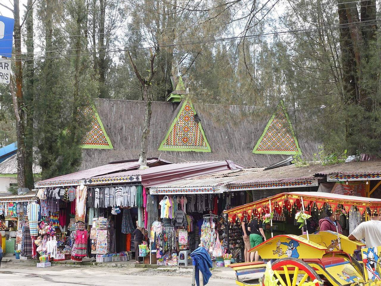 Foto: Astari28 · Wikimedia Commons · CC BY-SA 4.0
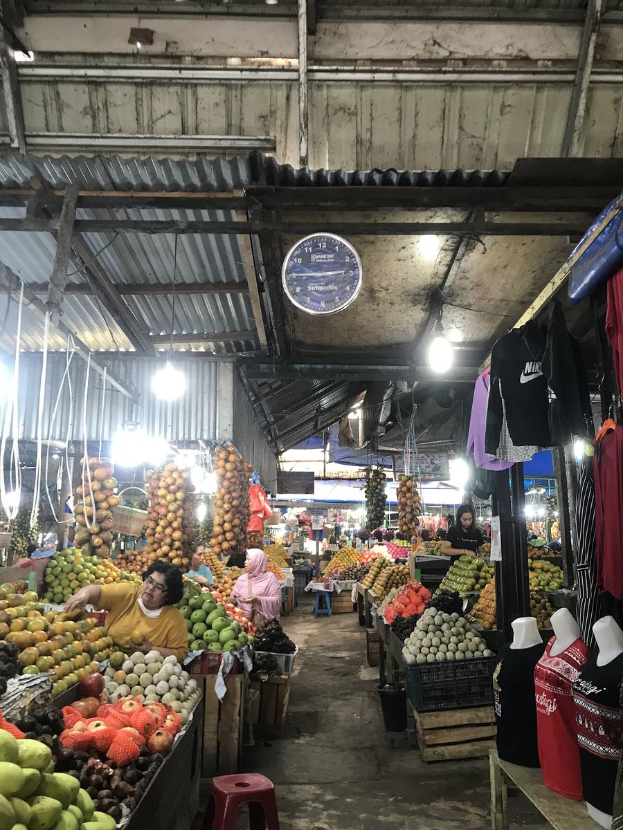 Foto: Lim Natee · Wikimedia Commons · CC BY-SA 4.0
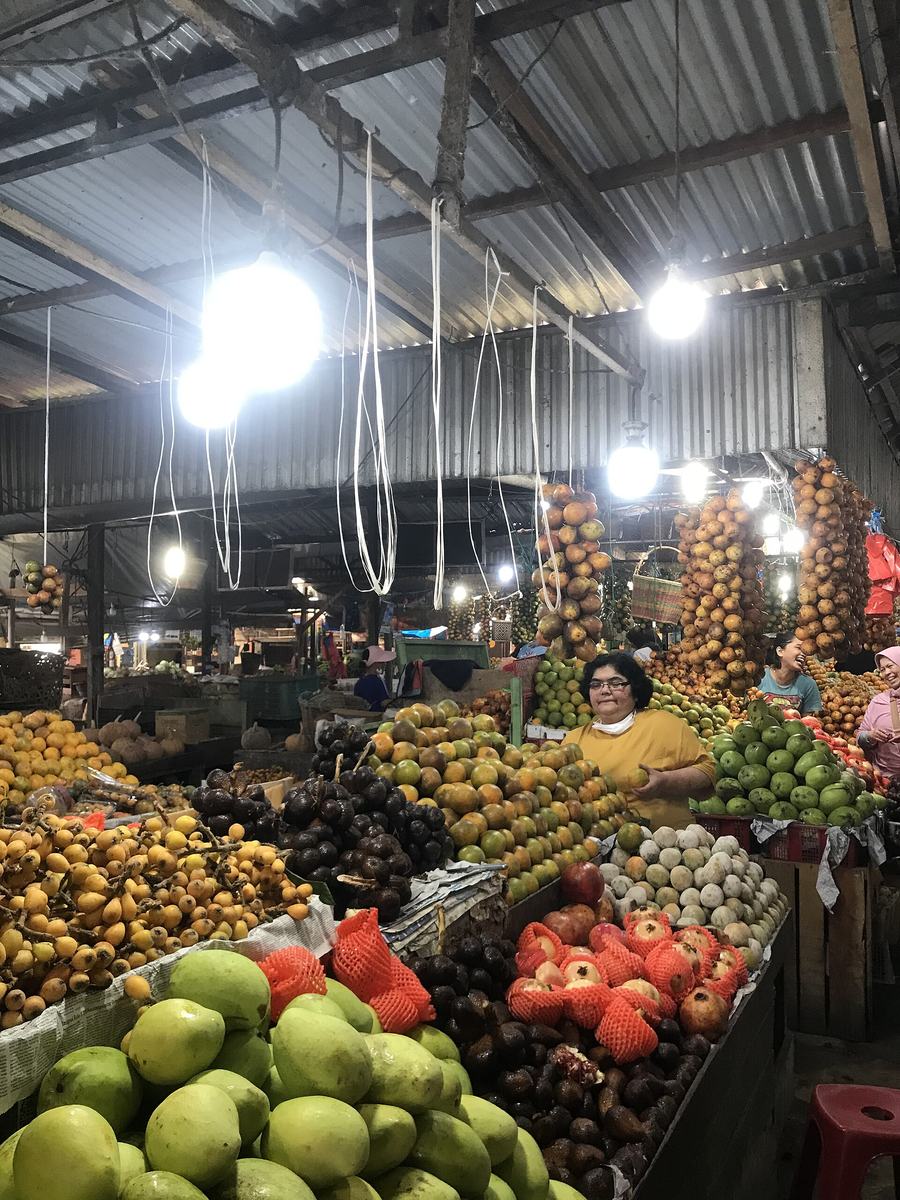 Foto: Lim Natee · Wikimedia Commons · CC BY-SA 4.0
Pasar Buah Berastagi
📍 BerastagiA market on Jalan Gundaling selling produce from the Karo highlands: oranges, passion fruit, strawberries, avocados and fresh vegetables.
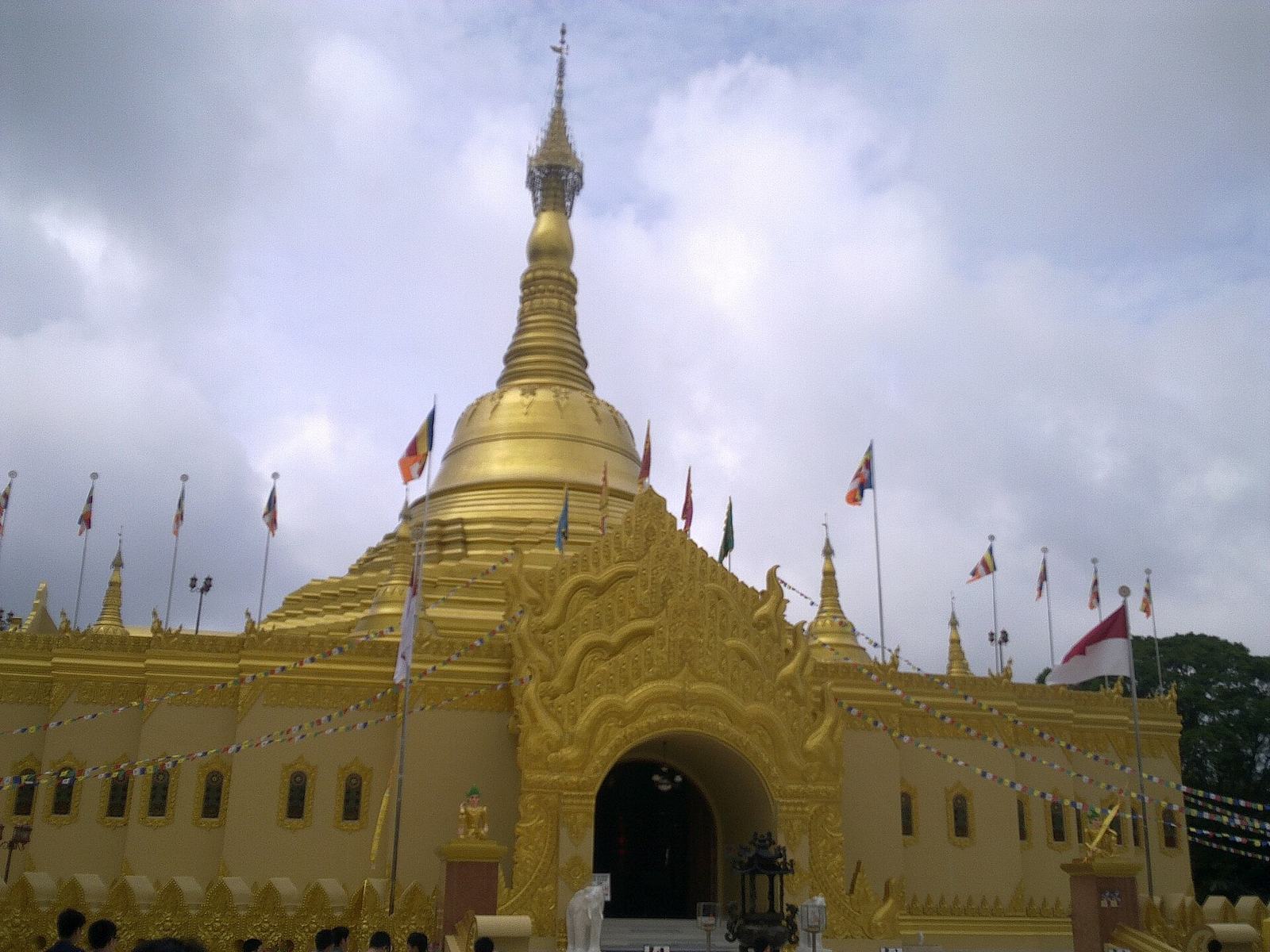 Foto: Kenrick · Wikimedia Commons · CC BY-SA 3.0
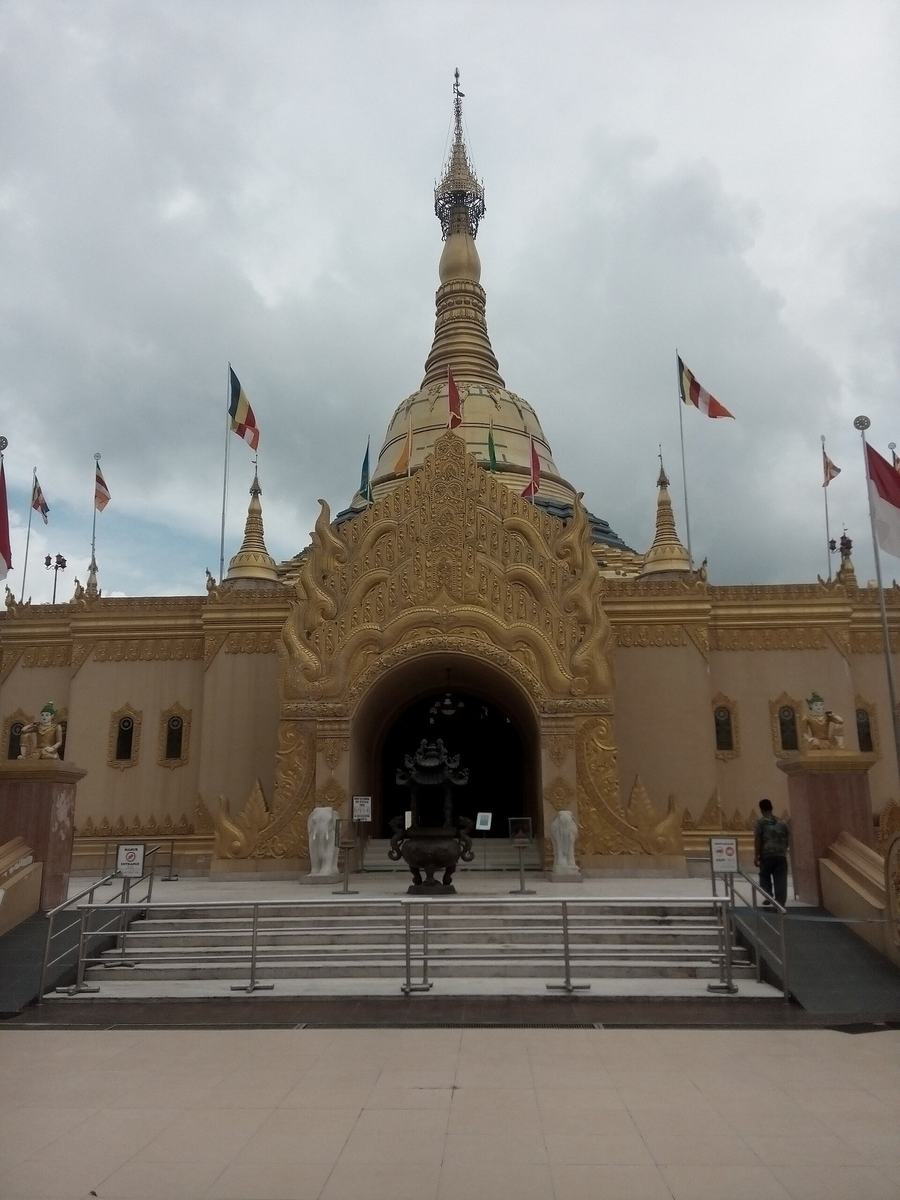 Foto: Adhmi · Wikimedia Commons · CC BY-SA 4.0
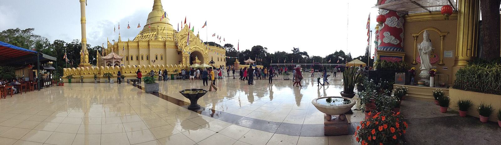 Foto: padlifadly · Wikimedia Commons · CC BY-SA 3.0 — panorama
Taman Alam Lumbini
📍 Dolat RayatA Buddhist temple complex at the foot of Mount Sibayak with a golden pagoda modelled on Myanmar's Shwedagon Pagoda; open to visitors.
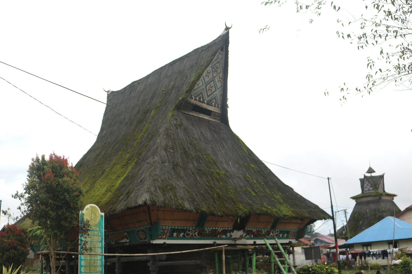 Foto: Agus Damanik · Wikimedia Commons · CC BY-SA 4.0
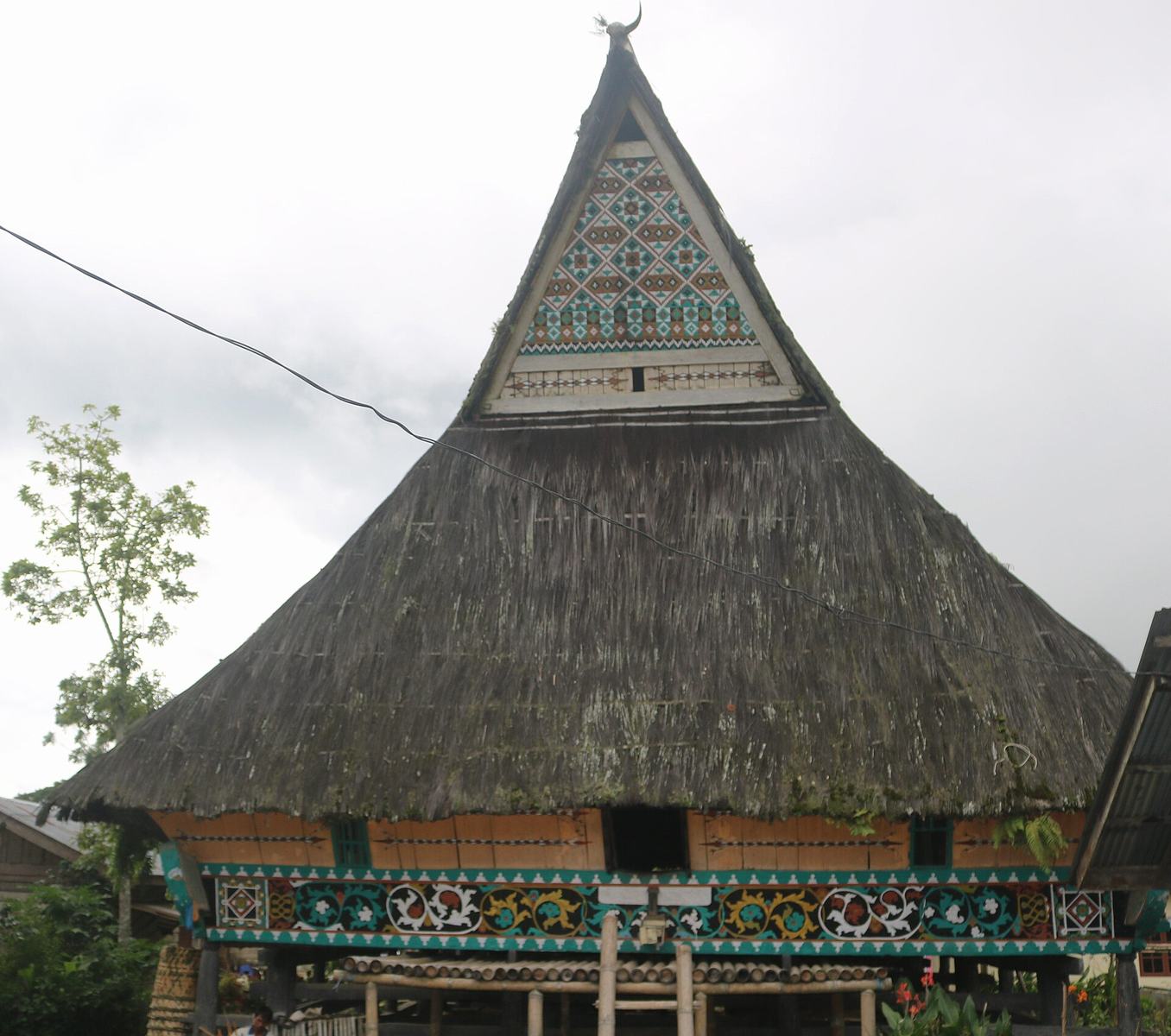 Foto: Agus Damanik · Wikimedia Commons · CC BY-SA 4.0
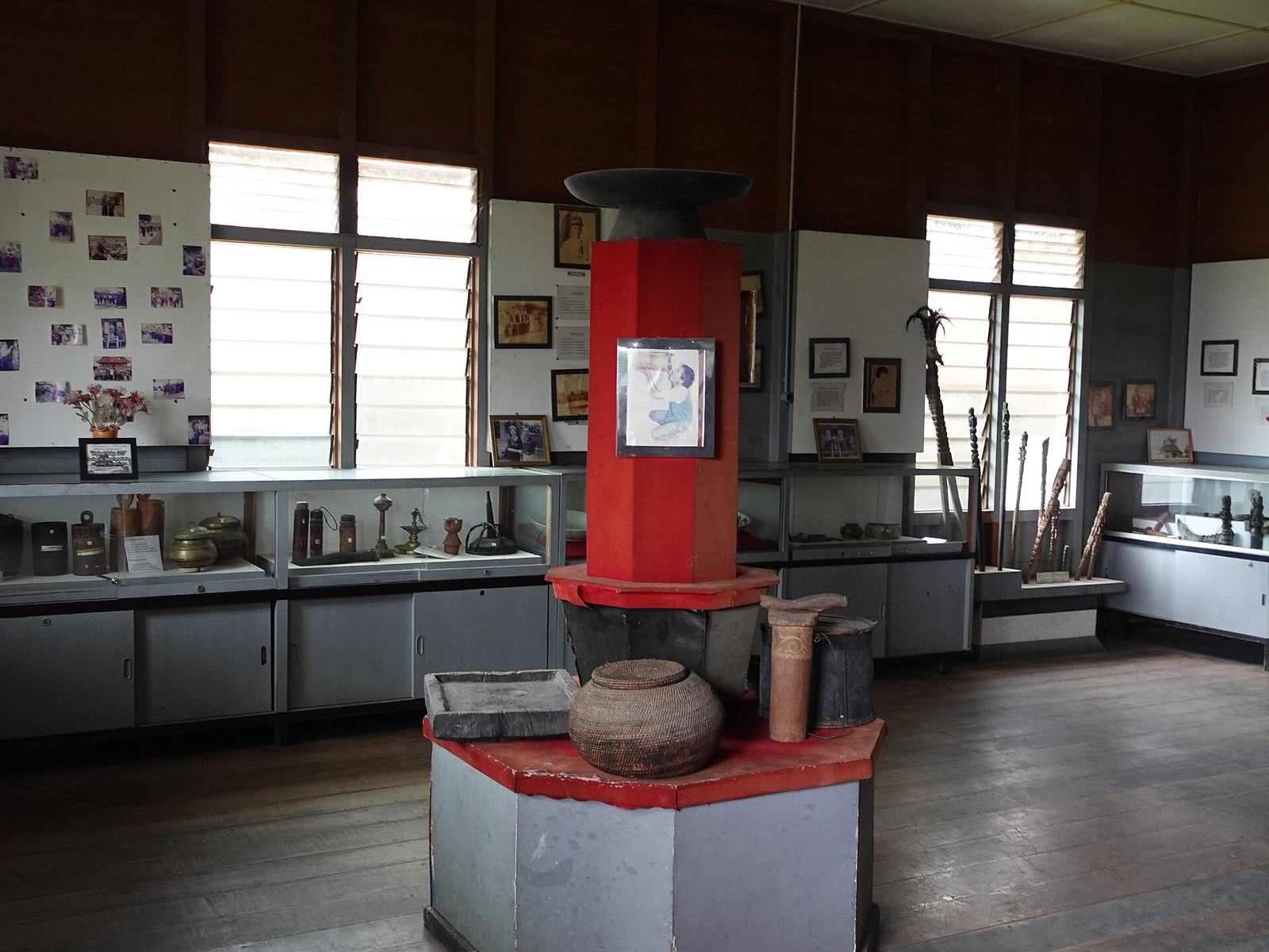 Foto: HaidirAndiNovianto · Wikimedia Commons · CC BY-SA 4.0 — Museum Karo Lingga
Desa Budaya Lingga
📍 Simpang EmpatA traditional village at about 1,200 m with Siwaluh Jabu houses more than 250 years old — one of the best places to see Karo architecture and traditional life.
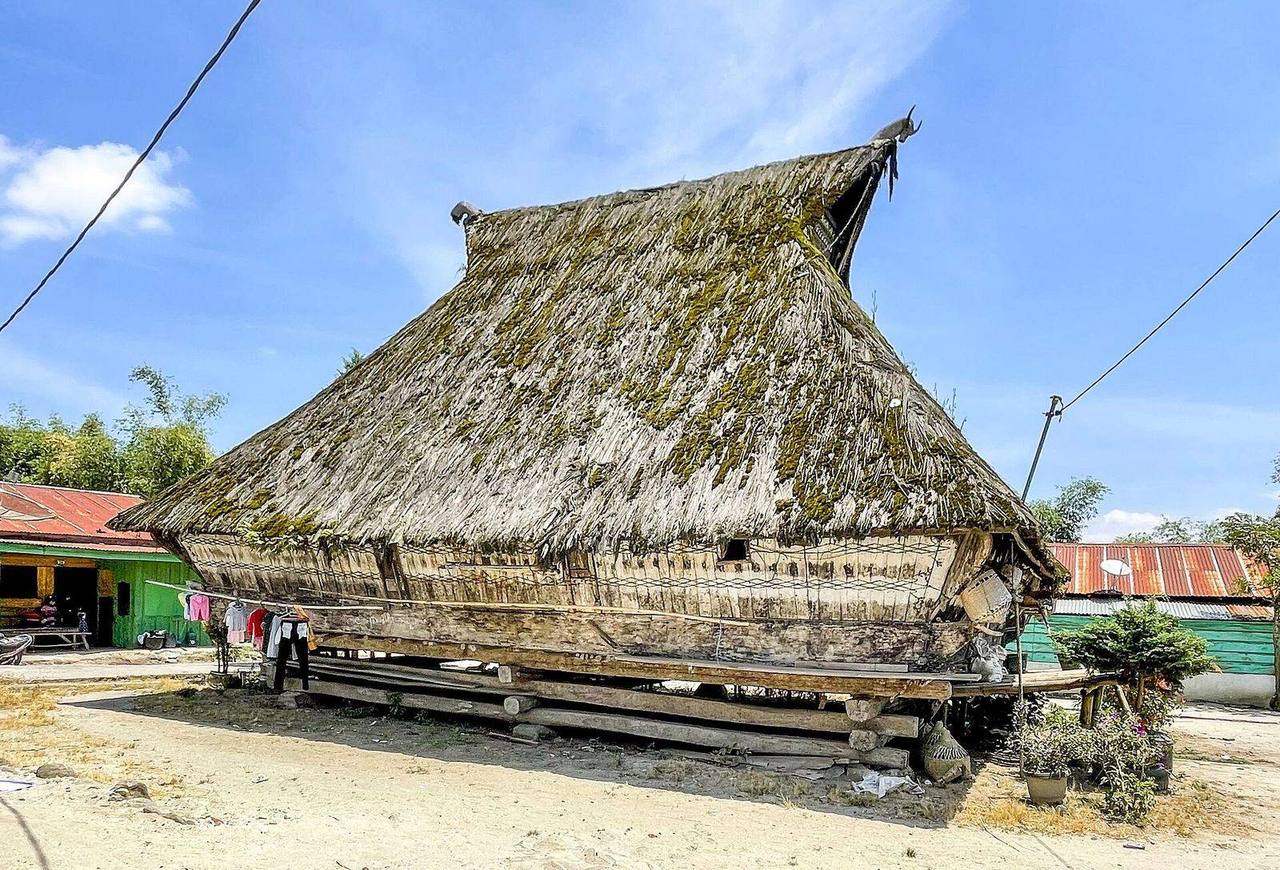 Foto: Christian Advs Sltg · Wikimedia Commons · CC BY-SA 4.0
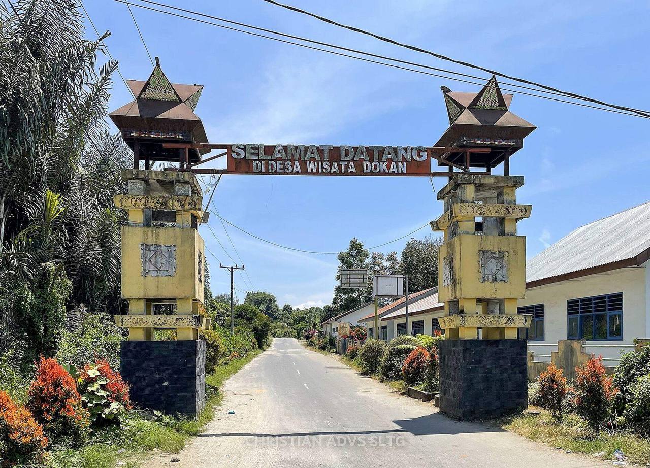 Foto: Christian Advs Sltg · Wikimedia Commons · CC BY-SA 4.0 — gerbang desa
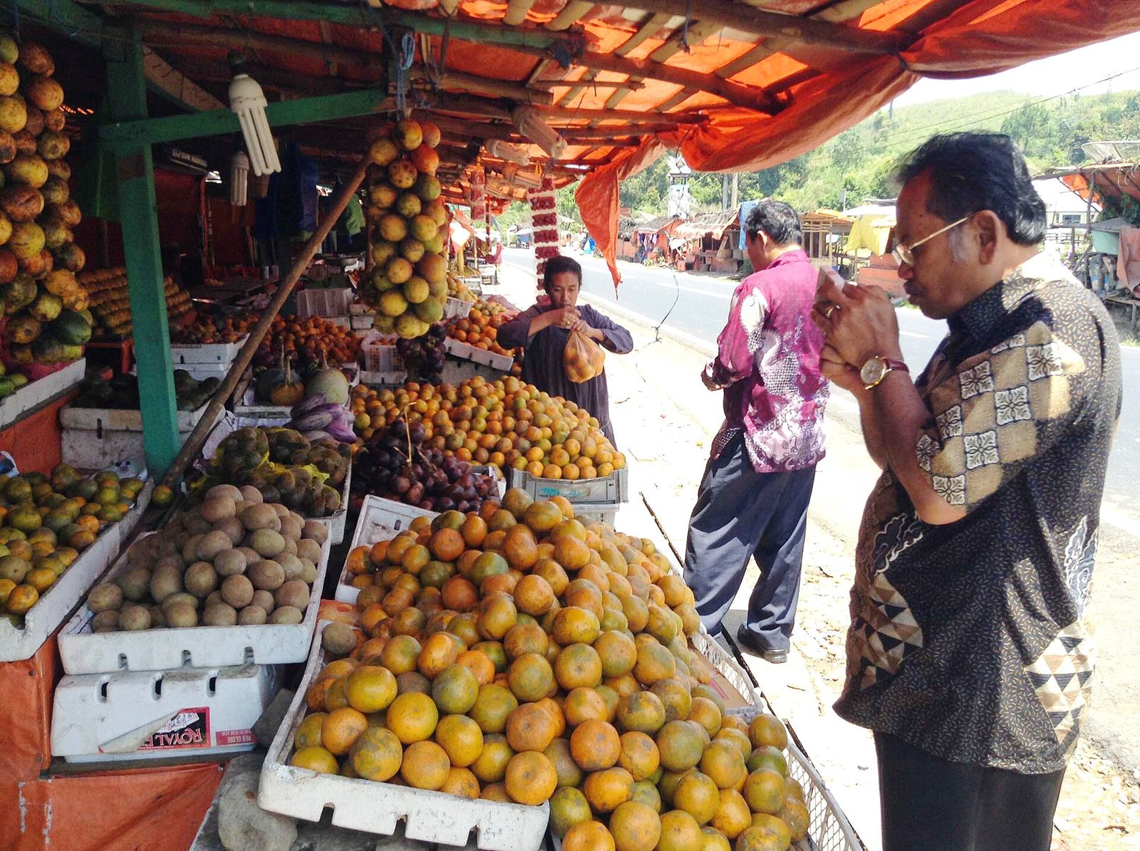 Foto: Christian Advs Sltg · Wikimedia Commons · CC BY-SA 4.0 — pasar buah
Desa Budaya Dokan
📍 MerekA village in Merek district with Karo houses over a century old, on the route between Berastagi and Lake Toba.
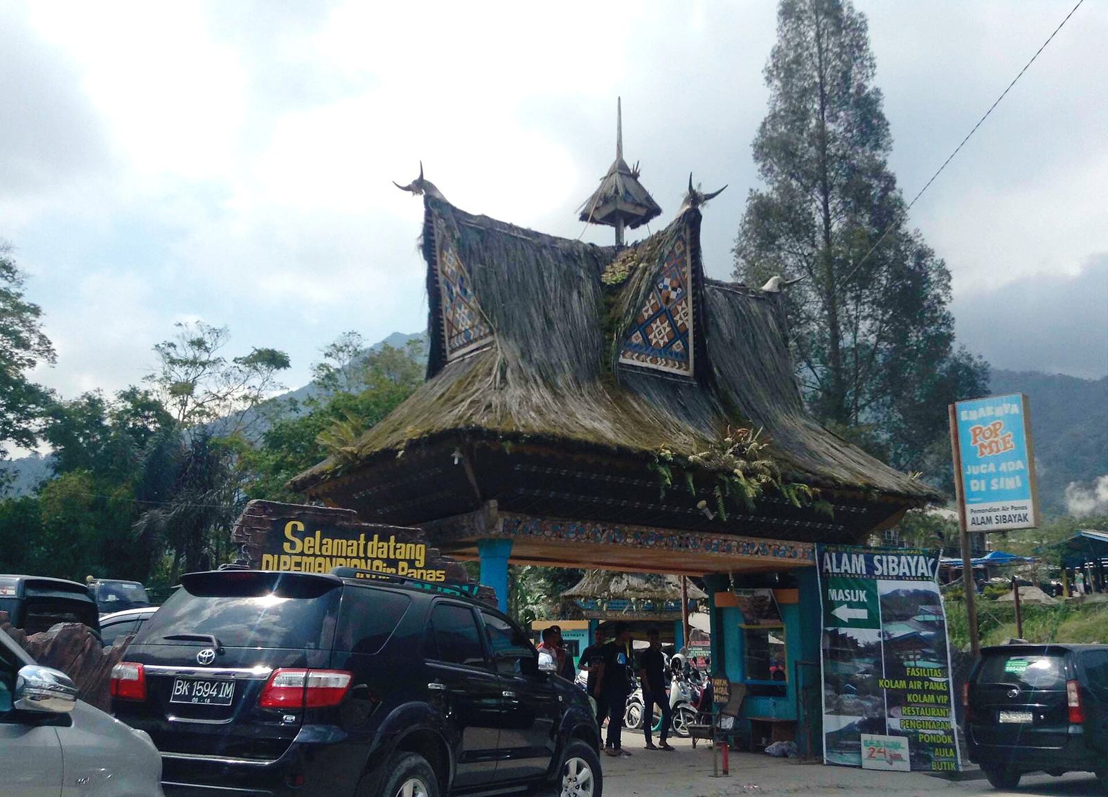 Foto: Christian Advs Sltg · Wikimedia Commons · CC BY-SA 4.0
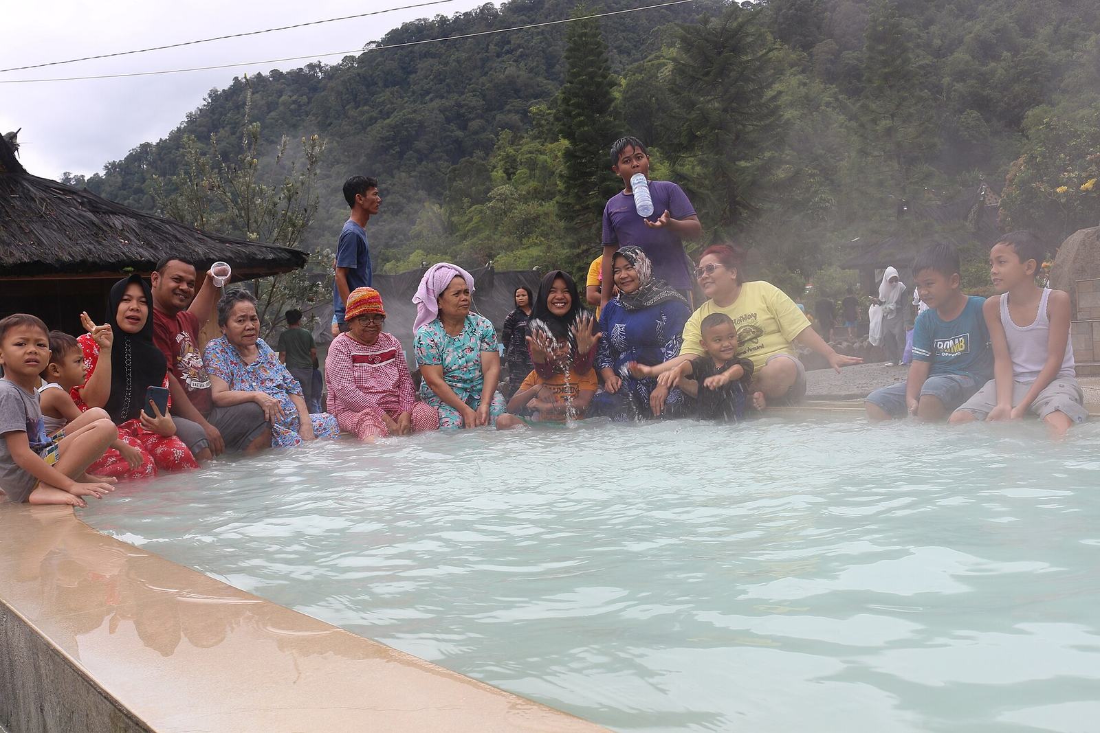 Foto: Mulai Adil Saragih · Wikimedia Commons · CC BY-SA 4.0 — Lau Sidebuk-debuk
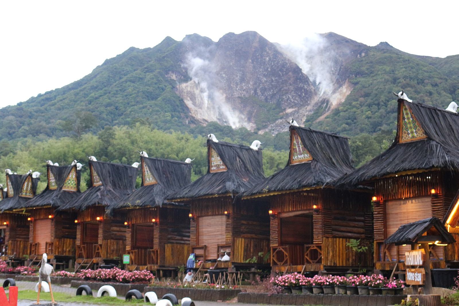 Foto: Mulai Adil Saragih · Wikimedia Commons · CC BY-SA 4.0 — Sibayak dari Lau Sidebuk-debuk
Air Panas Semangat Gunung & Lau Sidebuk-debuk
📍 Merdeka / BerastagiSulphurous hot pools of about 40–45 °C on the southern slope of Mount Sibayak — a favourite soak after the climb.
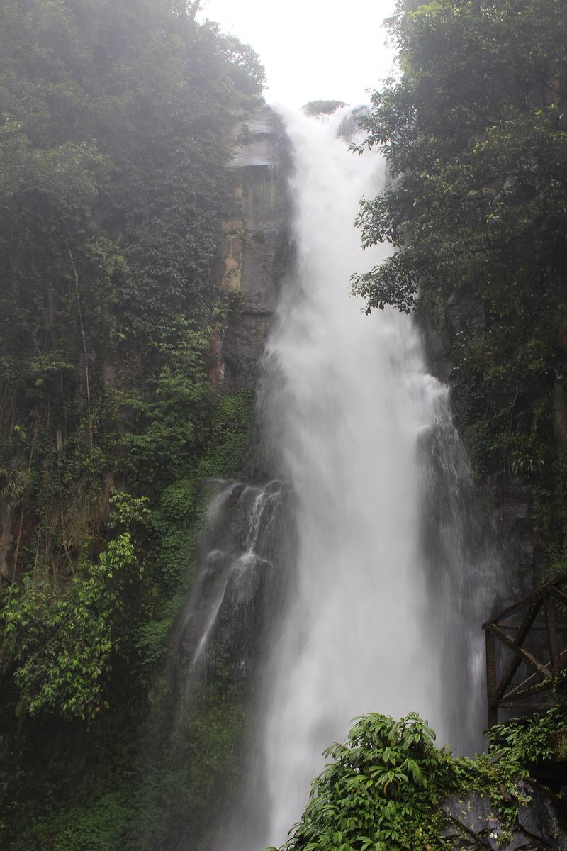 Foto: IHLubis · Wikimedia Commons · CC BY-SA 4.0
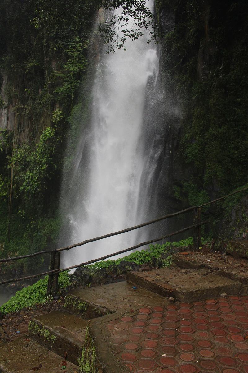 Foto: IHLubis · Wikimedia Commons · CC BY-SA 4.0
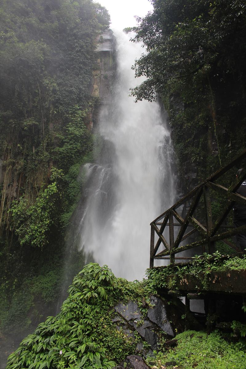 Foto: IHLubis · Wikimedia Commons · CC BY-SA 4.0
Air Terjun Sikulikap
📍 BerastagiA waterfall about 30–40 m high in a forested valley below Penatapan Doulu on the Medan–Berastagi road; a stepped path leads down to it.
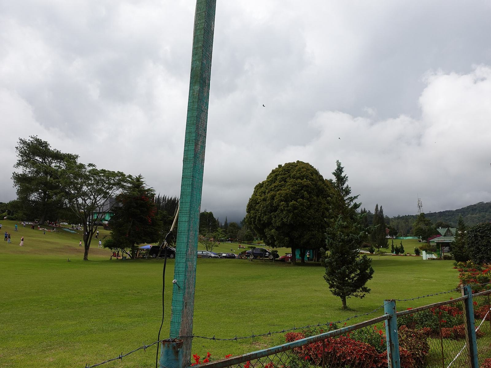 Foto: Astari28 · Wikimedia Commons · CC BY-SA 4.0
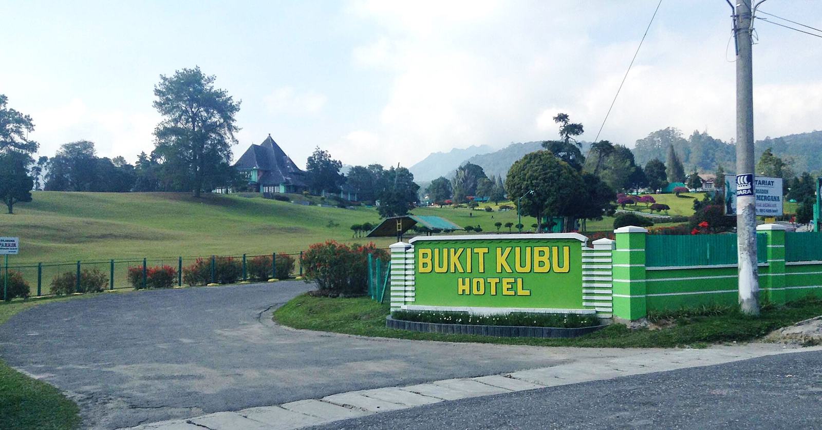 Foto: Christian Advs Sltg · Wikimedia Commons · CC BY-SA 4.0 — hotel tua
Bukit Kubu
📍 BerastagiAbout five hectares of grassland at the entrance to Berastagi, with an old colonial hotel on top — ideal for family picnics and kite flying.
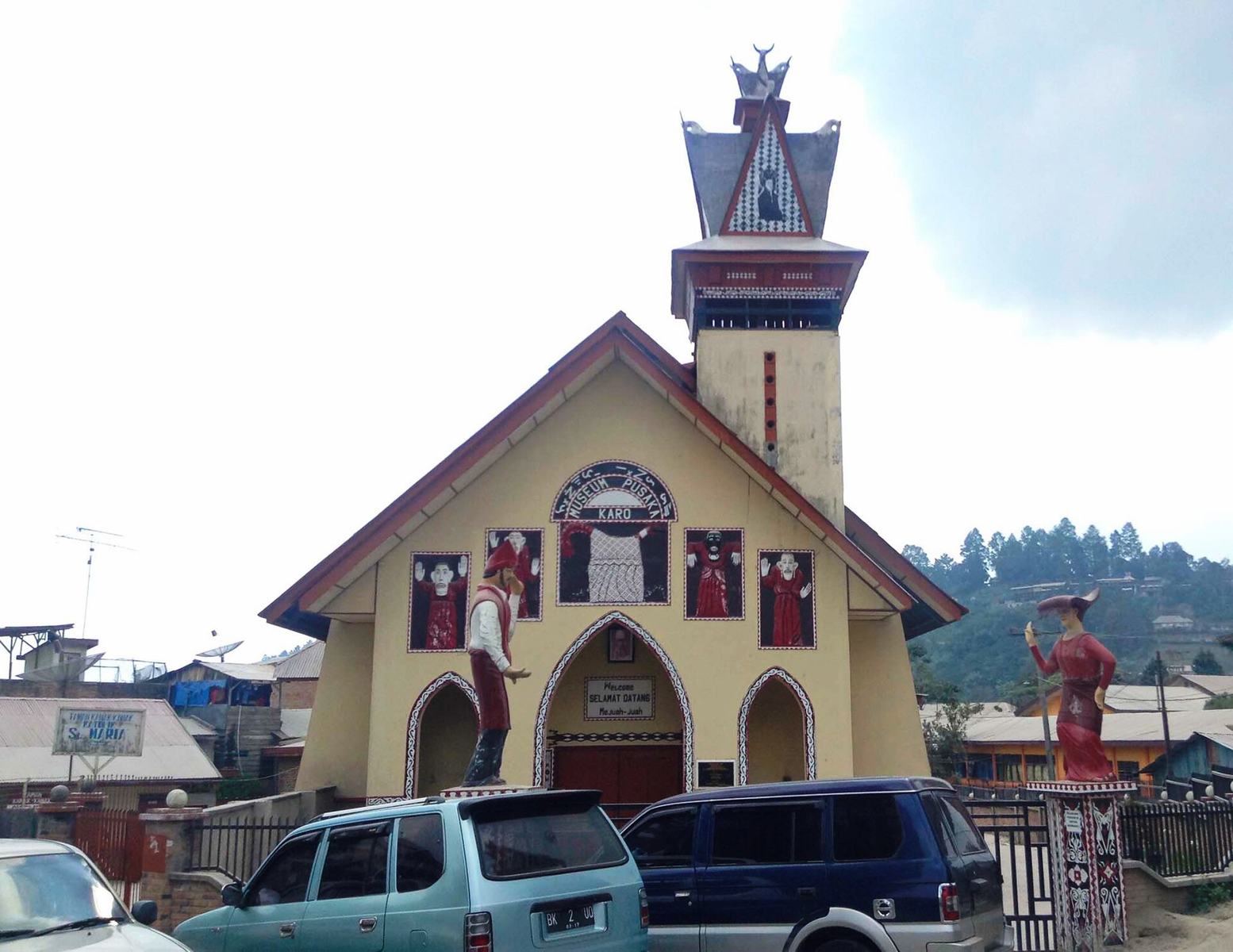 Foto: Christian Advs Sltg · Wikimedia Commons · CC BY-SA 4.0
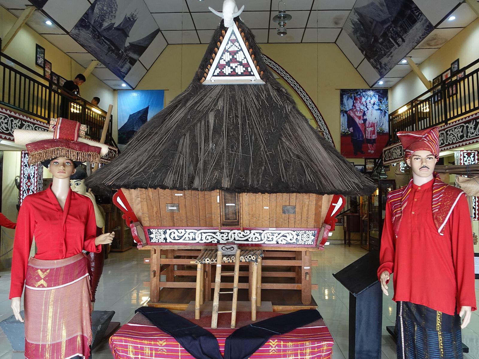 Foto: Astari28 · Wikimedia Commons · CC BY-SA 4.0 — pakaian adat dan replika rumah
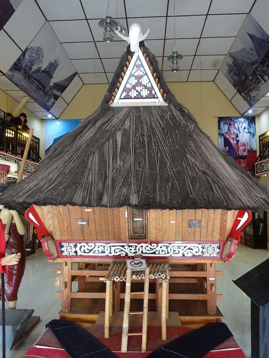 Foto: Astari28 · Wikimedia Commons · CC BY-SA 4.0 — replika rumah adat
Museum Pusaka Karo
📍 BerastagiA museum in the former Catholic Church of St Mary in central Berastagi, holding hundreds of Karo heritage objects.
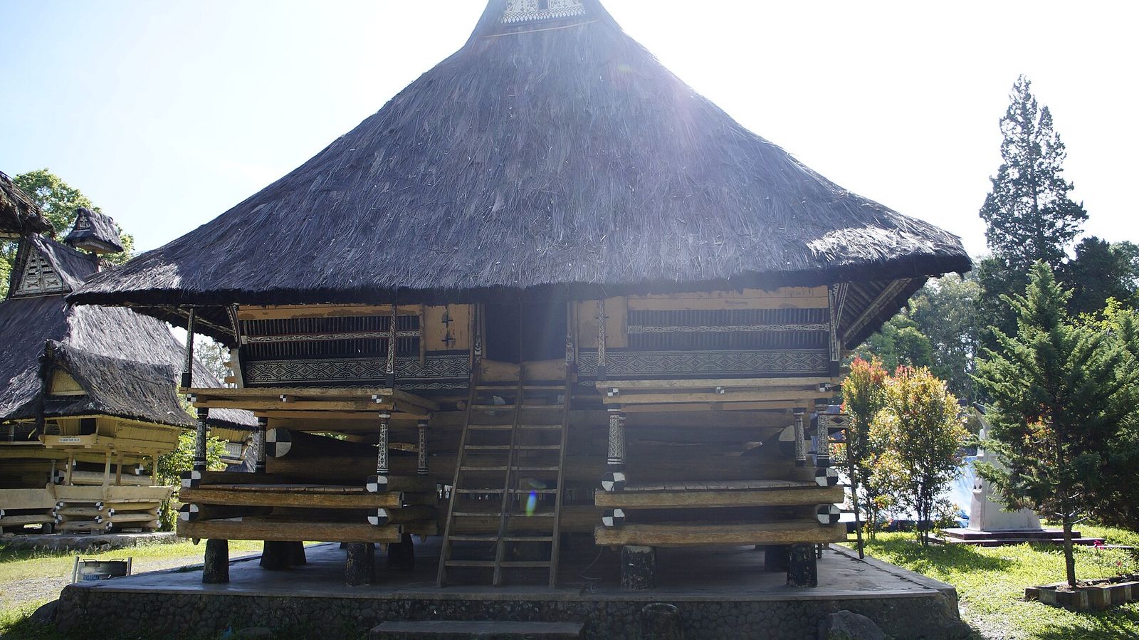 Foto: Ariokh Thio Gunadi Purba · Wikimedia Commons · CC BY-SA 4.0
Rumah Bolon Pematang Purba
📍 Kecamatan Purba, Kabupaten SimalungunThis former palace of the Raja Purba is now a museum with eight buildings, including the Rumah Bolon, Balai Bolon, Jambur and a rice mortar (lesung). The complex of about 20,000 m² lies on a plateau at around 1,200 m above sea level, surrounded by ravines and valleys.
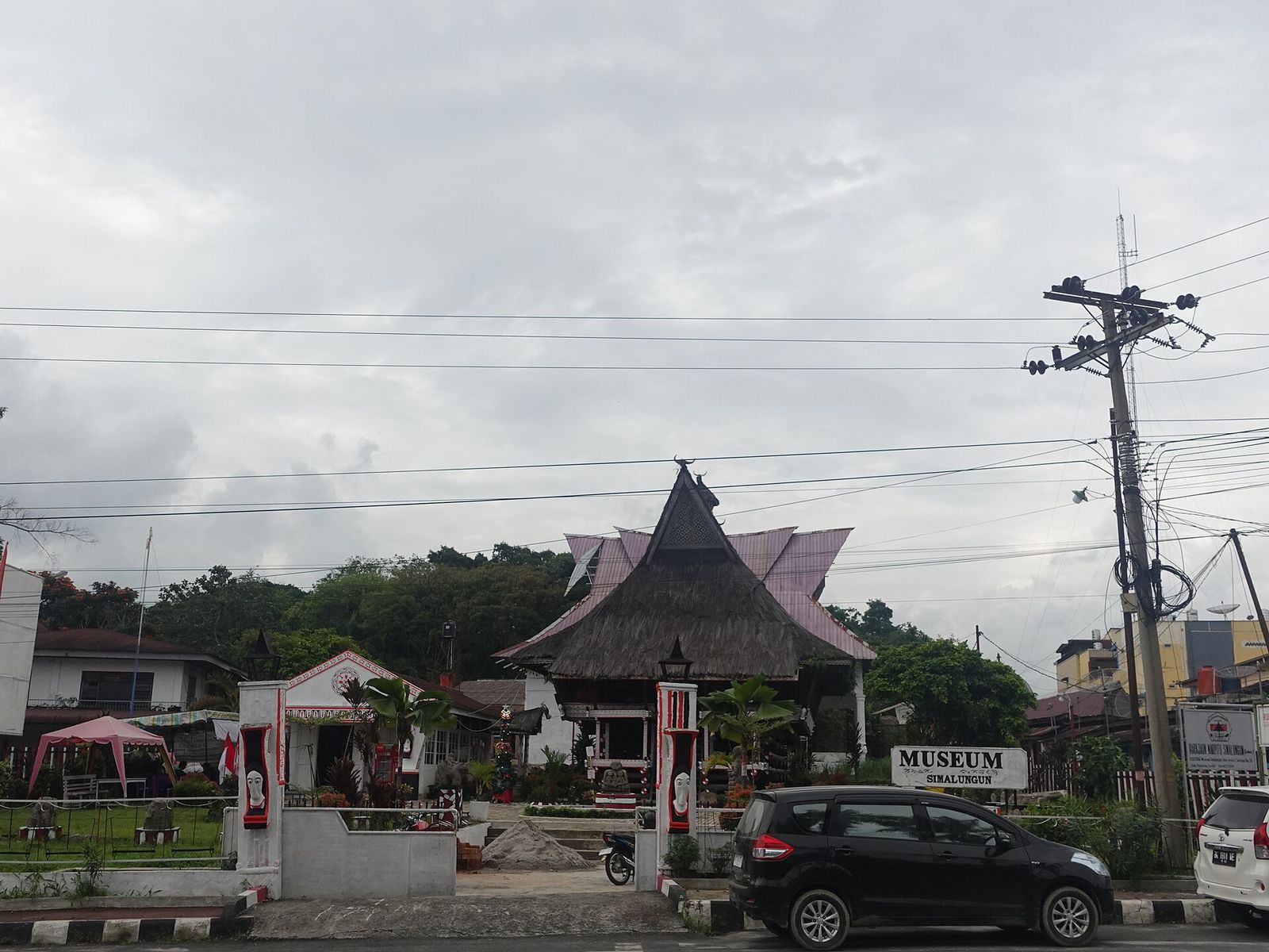 Foto: Lim Natee · Wikimedia Commons · CC BY 4.0
Museum Simalungun
📍 Kecamatan Siantar Barat, Kota PematangsiantarThis regional museum in the form of a traditional Simalungun house was built in 1939 and inaugurated with an adat ceremony in 1940. Its collection of about 866 objects includes Silapalapa stone statues from the megalithic era, pustaha laklak, weaving tools, and gold and silver jewellery.
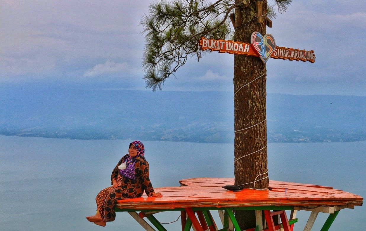 Foto: MULAI ADIL SARAGIH · Wikimedia Commons · CC BY-SA 4.0
Bukit Simarjarunjung
📍 Kecamatan Dolok Pardamean, Kabupaten SimalungunThis hill, about 1,300 m above sea level (Simalungun: Dolog Simarjarunjung), offers a panorama of Lake Toba and Samosir Island, with several photo spots such as Bukit Indah Simarjarunjung. At its foot once stood the sopo (meeting house) of the Raja Maropat.
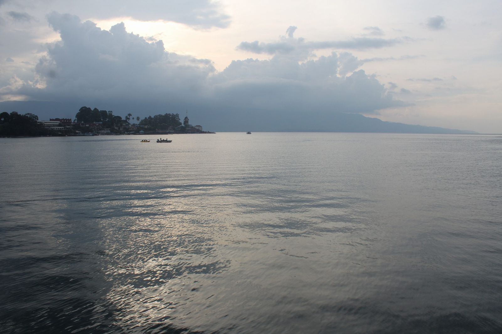 Foto: ButetSinaga · Wikimedia Commons · CC BY-SA 4.0
Pantai Bebas Parapat
📍 Kelurahan Parapat, Kecamatan Girsang Sipangan Bolon, Kabupaten SimalungunParapat on the shore of Lake Toba is a resort town with several swimming spots in the lake such as Pantai Kasih, Pantai Ujung and Batu Gantung, as well as speedboat and pedal-boat hire. Pantai Bebas (PanBes) is an open lakeside park in this neighbourhood.
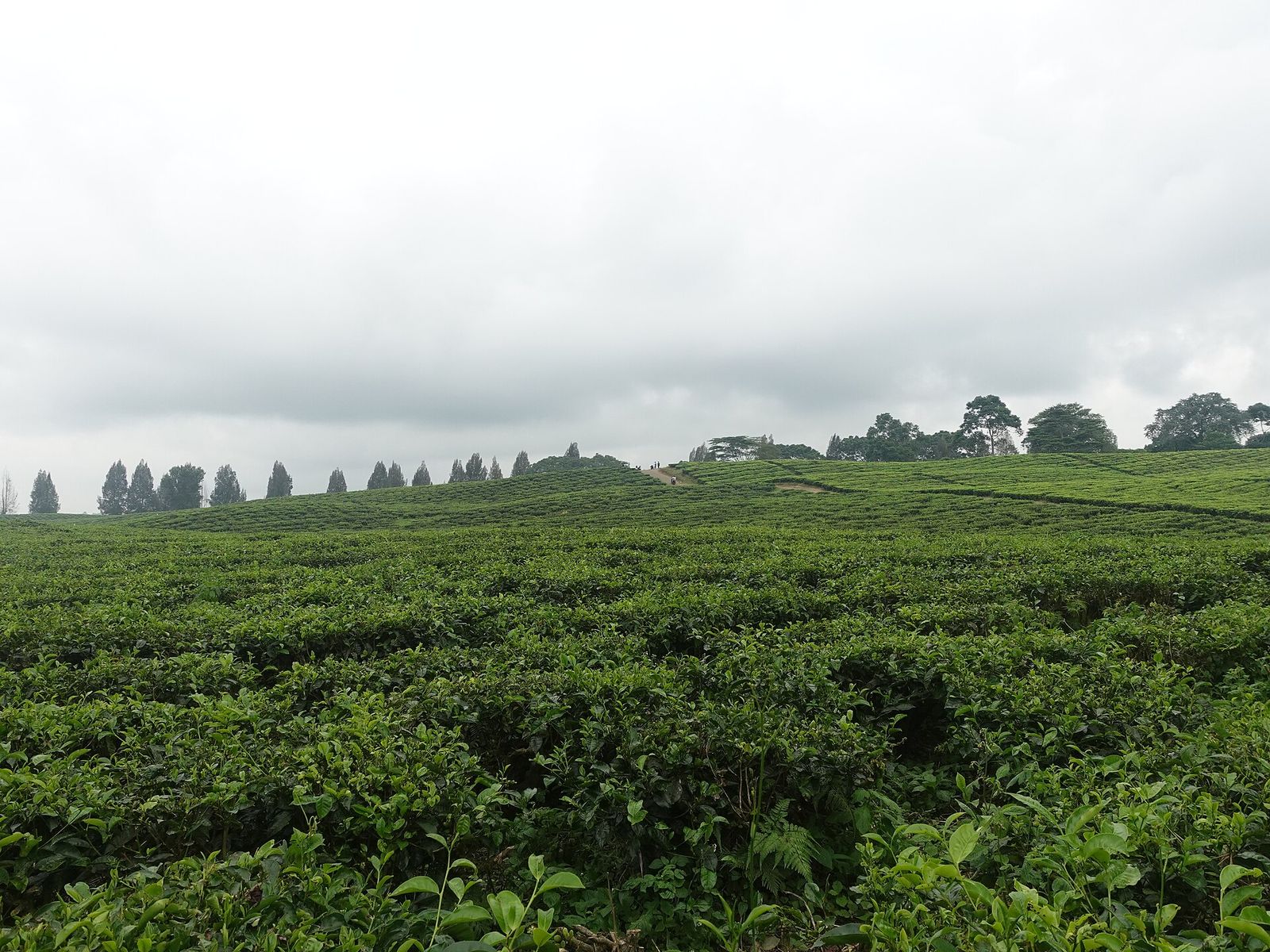 Foto: Ning Gusti · Wikimedia Commons · CC0
Kebun Teh Sidamanik (Bah Butong)
📍 Kecamatan Sidamanik, Kabupaten SimalungunThis colonial-era tea plantation is among the largest in North Sumatra and lies at around 890–1,200 m above sea level. Besides still being in production, the tea fields are a nature destination linked to the Bah Biak waterfall.
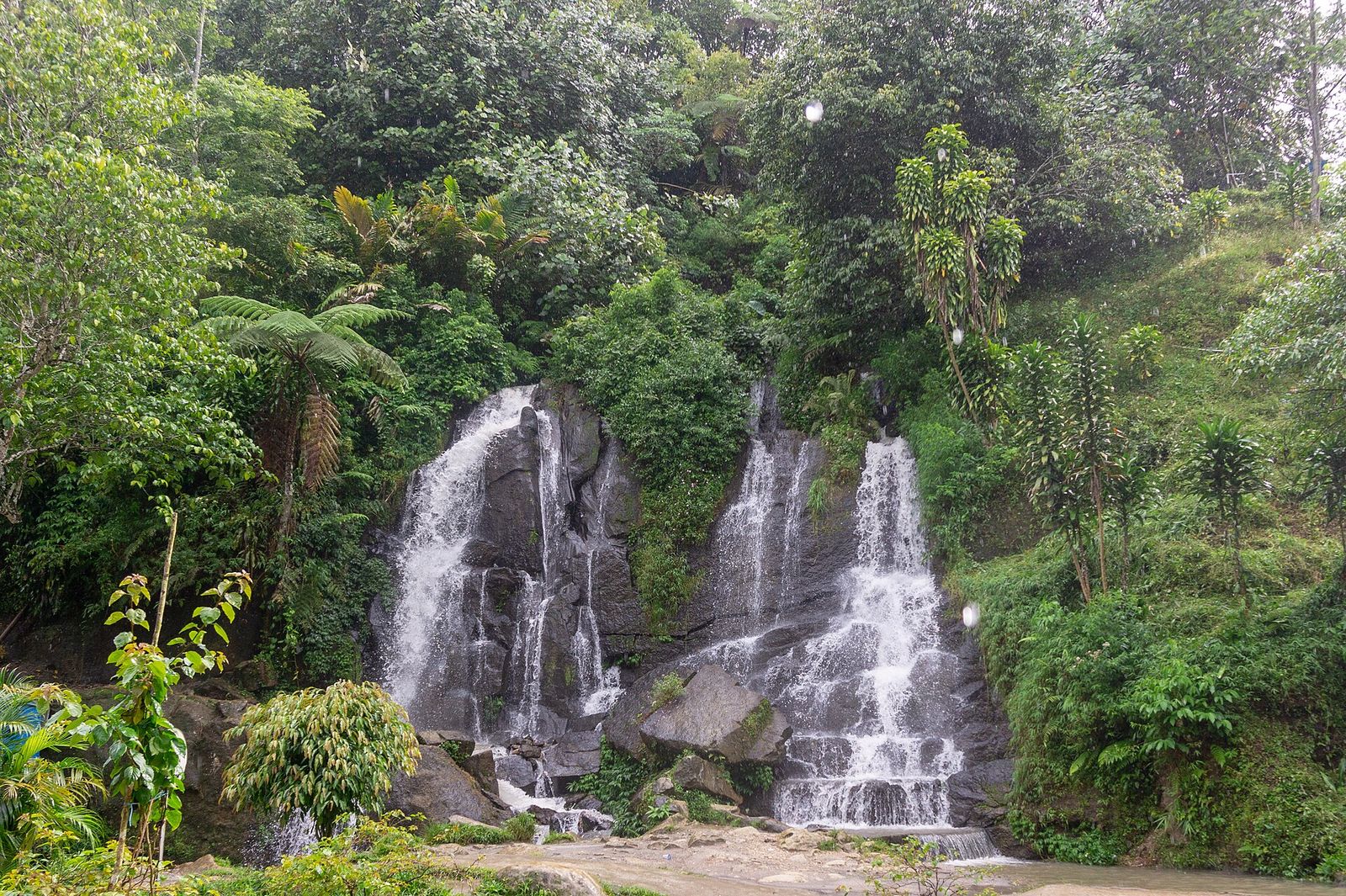 Foto: Ronald Nababan · Wikimedia Commons · CC BY-SA 4.0
Air Terjun Bah Biak
📍 Kecamatan Sidamanik, Kabupaten SimalungunThis waterfall, about 15–20 m high, lies near the Sidamanik tea plantation and has a natural pool for swimming. The name comes from the Simalungun language: bah means water.
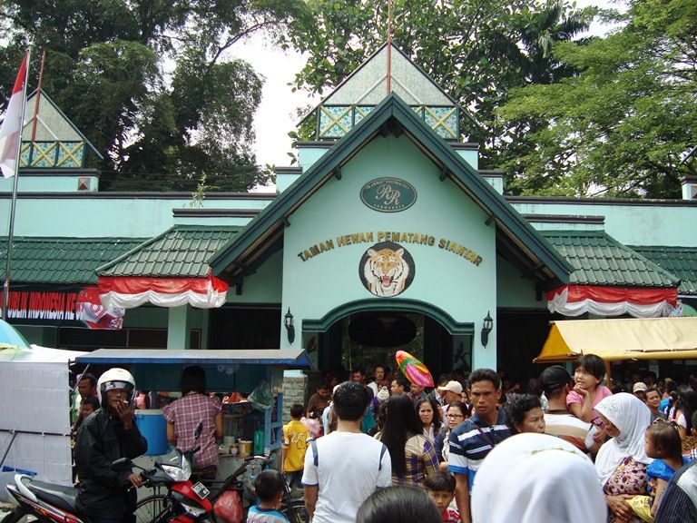 Foto: Wagino 20100516 · Wikimedia Commons.JPG) · CC BY-SA 3.0
Taman Hewan Pematangsiantar
📍 Kecamatan Siantar Barat, Kota PematangsiantarThe zoo opened to the public on 27 November 1936, covers about 4.5 hectares and is one of the oldest in Indonesia. It also houses a Zoological Museum with a collection of preserved animals.
Taman Wisata Iman Dairi
📍 Kecamatan Sitinjo, Kabupaten DairiA 13-ha spiritual tourism area on pine-forested Bukit Sitinjo, with places of worship and miniature replicas of historic buildings of various religions, such as a vihara, a church, a Marian grotto, a Hindu temple, a mosque and a hajj rehearsal ground (manasik haji). The land is customary land (tanah ulayat) of the Kudadiri marga, and the foundation stone was laid on 20 August 2005.
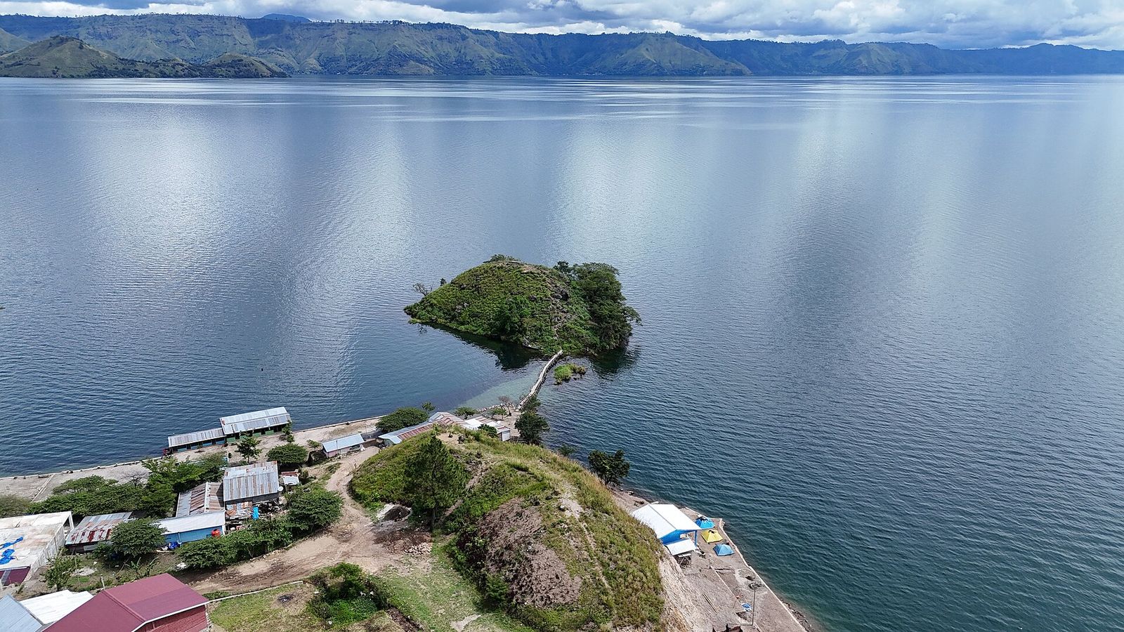 Foto: IHLubis · Wikimedia Commons · CC BY-SA 4.0
Tao Silalahi (pesisir Danau Toba)
📍 Kecamatan Silahisabungan, Kabupaten DairiTao Silalahi is the part of Lake Toba in Silahisabungan district on the lake's western side, described as the widest part of Lake Toba with the longest natural beach. Pantai Silalahi is on Dairi Regency's list of tourist attractions.
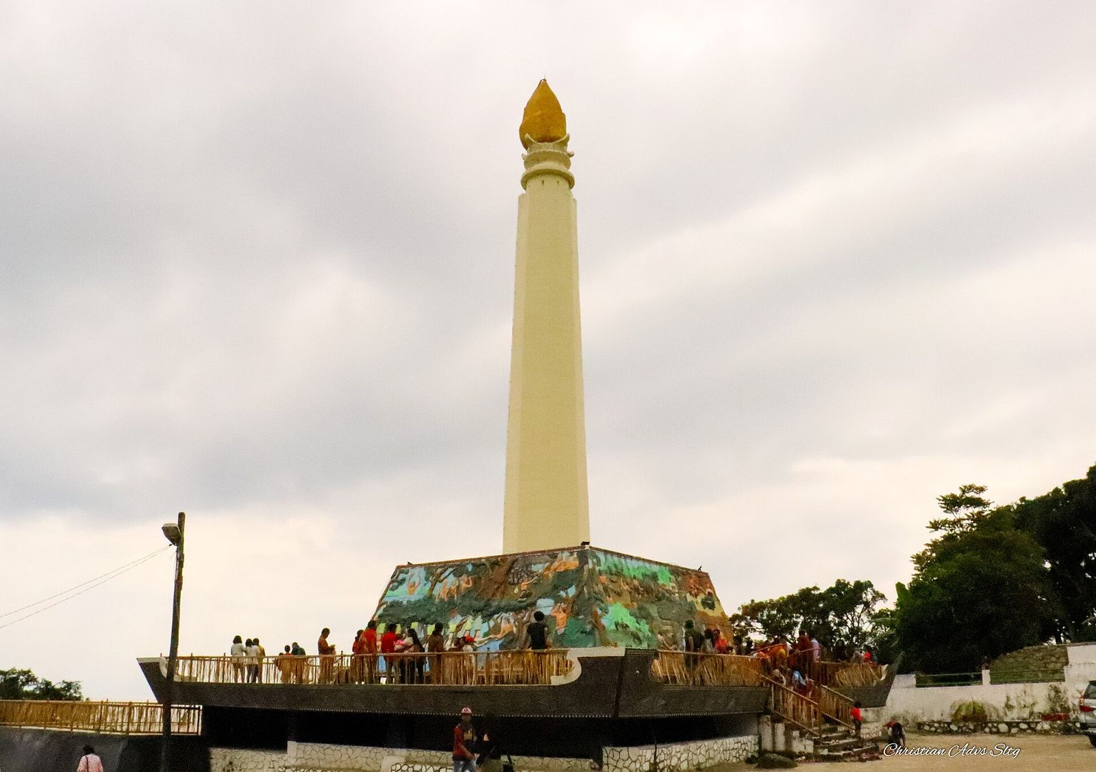 Foto: Christian Advs Sltg · Wikimedia Commons.jpg) · CC BY-SA 4.0
Tugu Makam Raja Silahisabungan (Tumaras)
📍 Desa Silalahi III, Kecamatan Silahisabungan, Kabupaten DairiThe Tugu Makam Raja Silahisabungan (tomb monument), abbreviated Tumaras, is a heritage site in Silalahi Nabolak on the shore of Lake Toba. Raja Silahisabungan is honoured as the ancestor of the marga descended from Silalahi; the monument is also listed among Dairi Regency's tourist attractions.
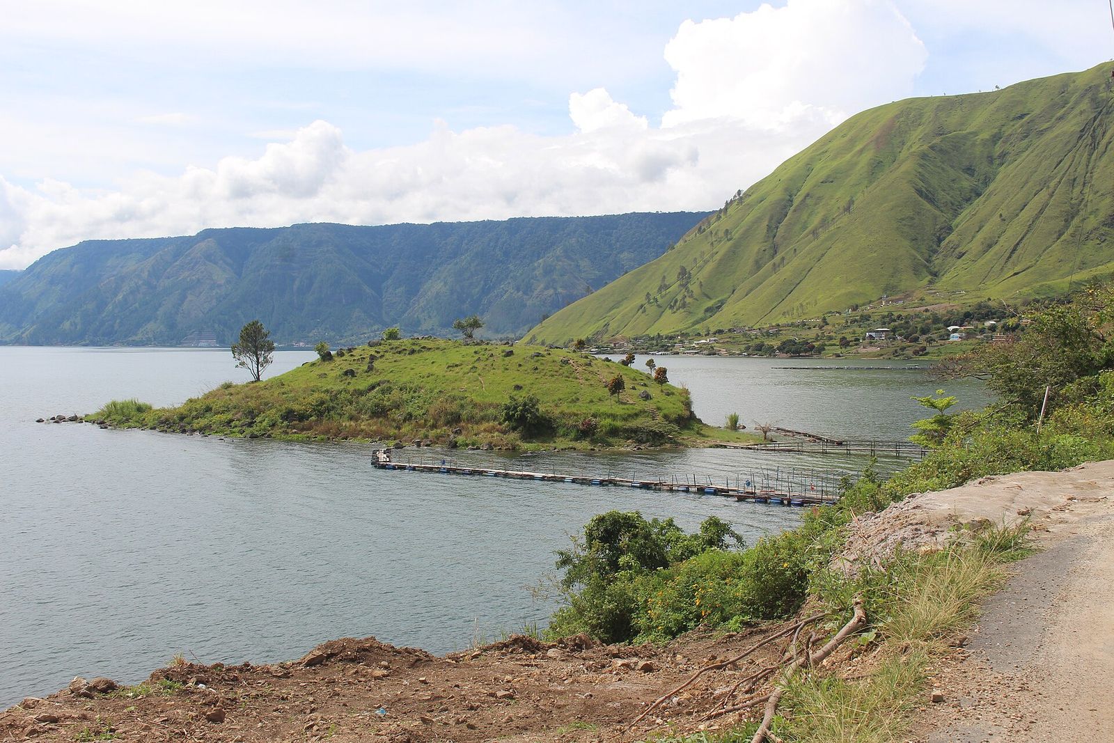 Foto: IHLubis · Wikimedia Commons · CC BY-SA 4.0
Desa Paropo
📍 Desa Paropo, Kecamatan Silahisabungan, Kabupaten DairiParopo is a village on the western shore of Lake Toba that Indonesia.travel lists as one of Lake Toba's 'hidden gems'. The small island in front of it (Pulo Paropo) is used as a camping spot.
Air Terjun Lae Pandaroh (Lae Pendaroh)
📍 Antara Kecamatan Sidikalang dan Kecamatan Sumbul, Kabupaten DairiThis waterfall lies by the roadside near the bridge connecting Sidikalang and Sumbul districts, about 11 km southeast of Sidikalang. Nearby, the Lae Renun river can be used for rafting, and visitors can also explore the forest or camp.
Air Terjun Lae Une
📍 Kabupaten Pakpak Bharat (lihat catatan)In Pakpak, lae means river, and Une is the name of the river, which flows all the way into Aceh Province. The waterfall lies in the middle of the forest; the water is clear, but the strong current means visitors are advised not to cross the river.
Air Terjun Lae Mbilulu
📍 Sekitar Desa Prongil, Kecamatan Tinada, Kabupaten Pakpak BharatLae Mbilulu is an unspoilt twin waterfall with cold water, described as one of Pakpak Bharat's main attractions. Not far from the waterfall are mejan left by the Pakpak people.
Mejan Penanggaleng
📍 Desa Penanggalen Binanga Boang, Kecamatan Salak, Kabupaten Pakpak BharatThe site consists of protected stone statues (mejan) surrounded by natural surroundings. The Pakpak Bharat Tourism Office lists it as 'Mejan Bancin Penanggalen' in PB Boang village, Salak district.
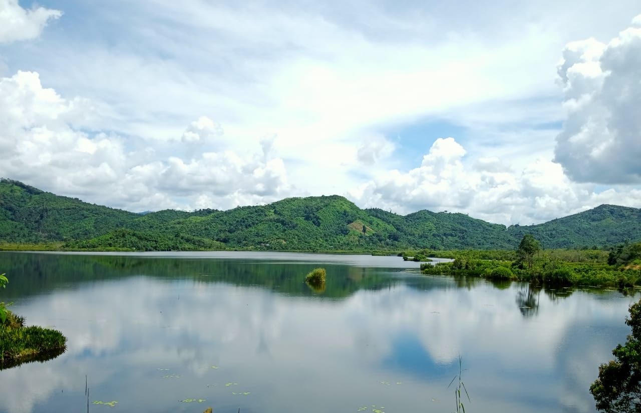 Foto: Esti PIbranto · Wikimedia Commons · CC BY-SA 4.0
Danau Siais
📍 Angkola Sangkunur, Kabupaten Tapanuli SelatanLake Siais is a lake of about 45.12 km² in Angkola Sangkunur district. It is listed as one of South Tapanuli Regency's tourist attractions.
Danau Marsabut
📍 Sipirok, Kabupaten Tapanuli SelatanLake Marsabut is a natural lake in the Sipirok hills at around 1,000 m above sea level, with cool air. Visitors come for the views, fishing and boating.
Tor Simago-Mago
📍 Sipirok, Kabupaten Tapanuli SelatanTor Simago-Mago is a rocky hill in the Sipirok highlands, easily recognised by its shape resembling a large cliff. Visitors can enjoy mountain views, cool air and rural panoramas.
Pemandian air panas (aek milas) Sipirok
📍 Sipirok, Kabupaten Tapanuli SelatanBeing close to the still-active Mount Sibualbuali, Sipirok has many hot springs used as bathing places (aek milas). These baths are found in Parandolok, Parau Sorat, Situmba and Sosopan, among others.
Cagar Alam Dolok Sibual-Buali
📍 Kabupaten Tapanuli Selatan (dekat Sipirok; OSM: Hutaginjang, Angkola Timur)This nature reserve of about 5,000 ha was designated on 6 April 1982 and consists of montane rainforest at 700–1,700 m above sea level, visible from Sipirok town. It is a habitat for orangutans, Sumatran tigers, tapirs and hornbills; its status as a nature reserve allows only limited ecotourism.
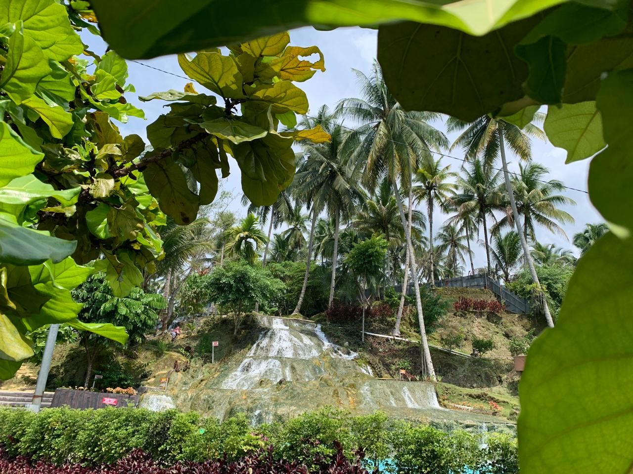 Foto: Juwi AR · Wikimedia Commons · CC BY 4.0
Aek Sijorni
📍 Sayur Matinggi, Kabupaten Tapanuli SelatanAek Sijorni is a tiered waterfall with clear water flowing over rock, surrounded by coconut palms. It gets very busy on holidays, especially at Lebaran (Eid).
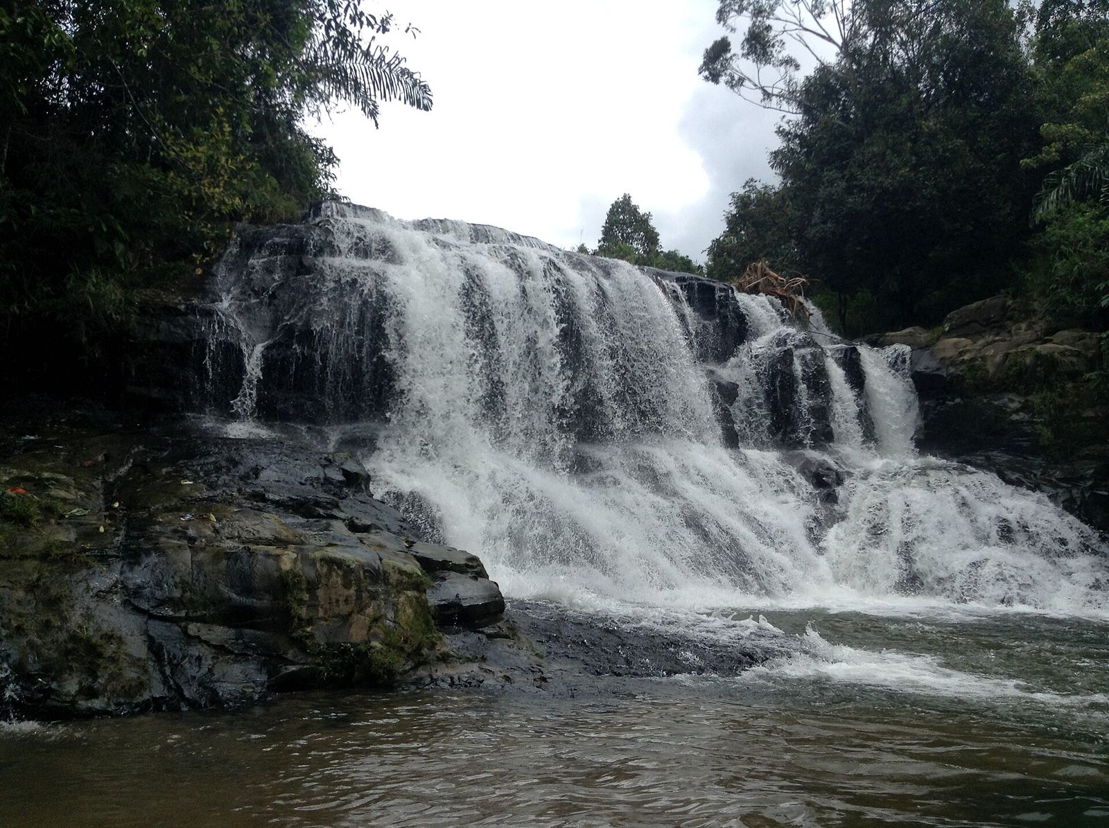 Foto: Christian Advs Sltg · Wikimedia Commons_Jul2013_01.JPG) · CC BY-SA 4.0
Air terjun di Damparan Haunatas
📍 Saipar Dolok Hole, Kabupaten Tapanuli SelatanIn Damparan Haunatas village, Saipar Dolok Hole district, there is a waterfall listed as one of the regency's attractions. On Wikimedia Commons it is called Sampuran Waterfall.
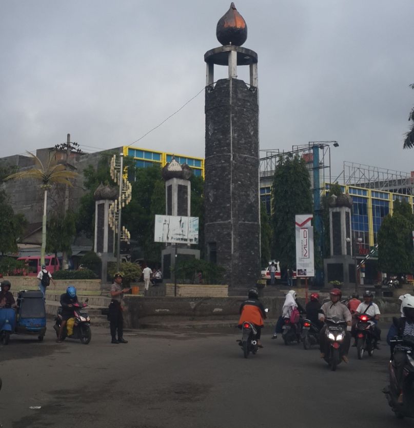 Foto: Davidelit · Wikimedia Commons · CC BY-SA 4.0
Tugu Salak
📍 Padangsidimpuan Utara, Kota PadangsidimpuanTugu Salak is the landmark of Padangsidimpuan, nicknamed the City of Salak because it is surrounded by salak (snake fruit) orchards on hills such as the foot of Mount Lubuk Raya. Many residents come here to relax from late afternoon until late at night.
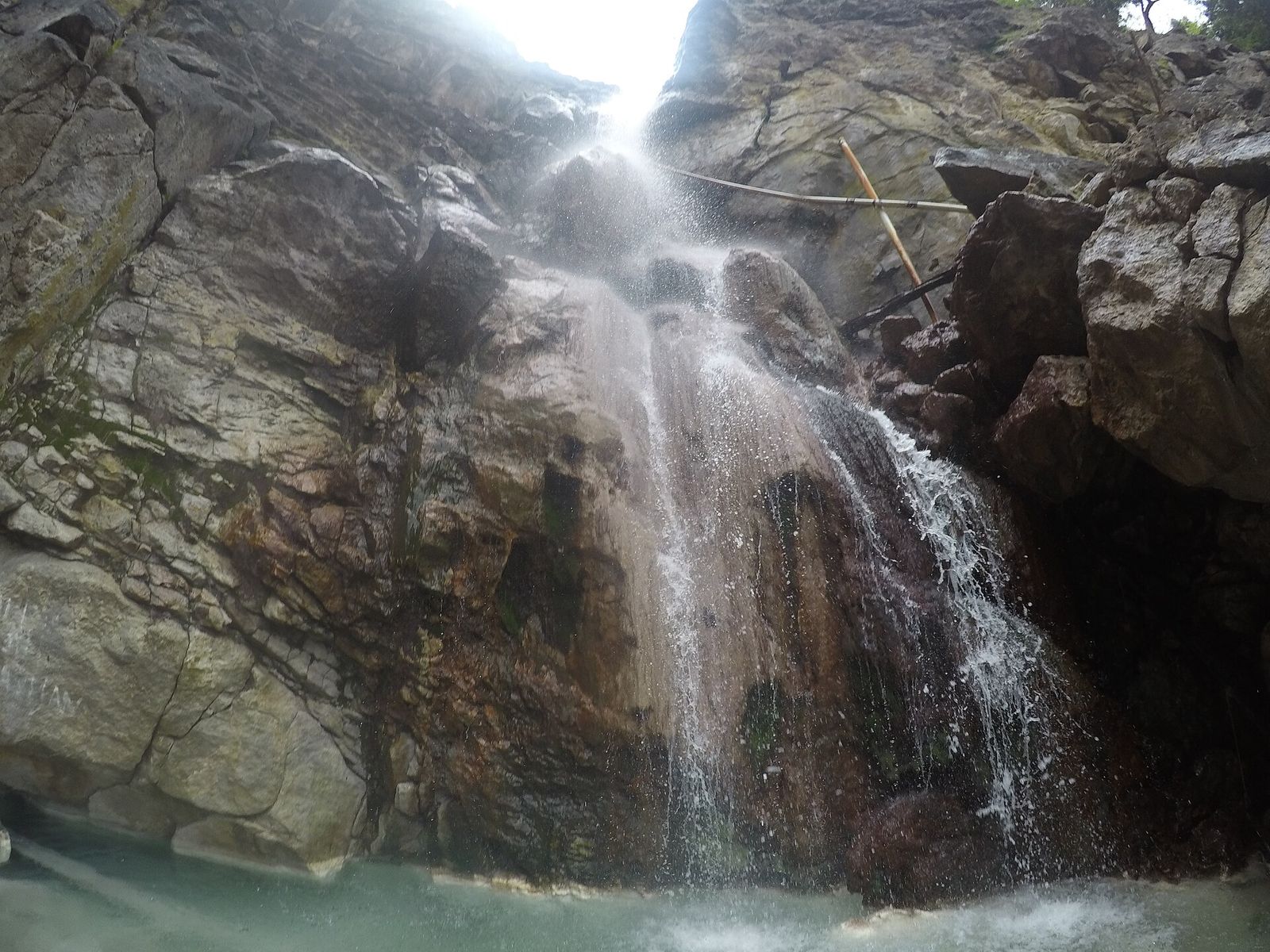 Foto: Lo2asinamura · Wikimedia Commons · CC BY-SA 4.0
Taman Nasional Batang Gadis
📍 13 kecamatan, Kabupaten Mandailing NatalA national park of about 72,800 ha, designated in 2004 and named after the Batang Gadis River, ranging from 300 to 2,145 m above sea level. Records include traces of Sumatran tigers, tapirs, sun bears and hundreds of bird species.
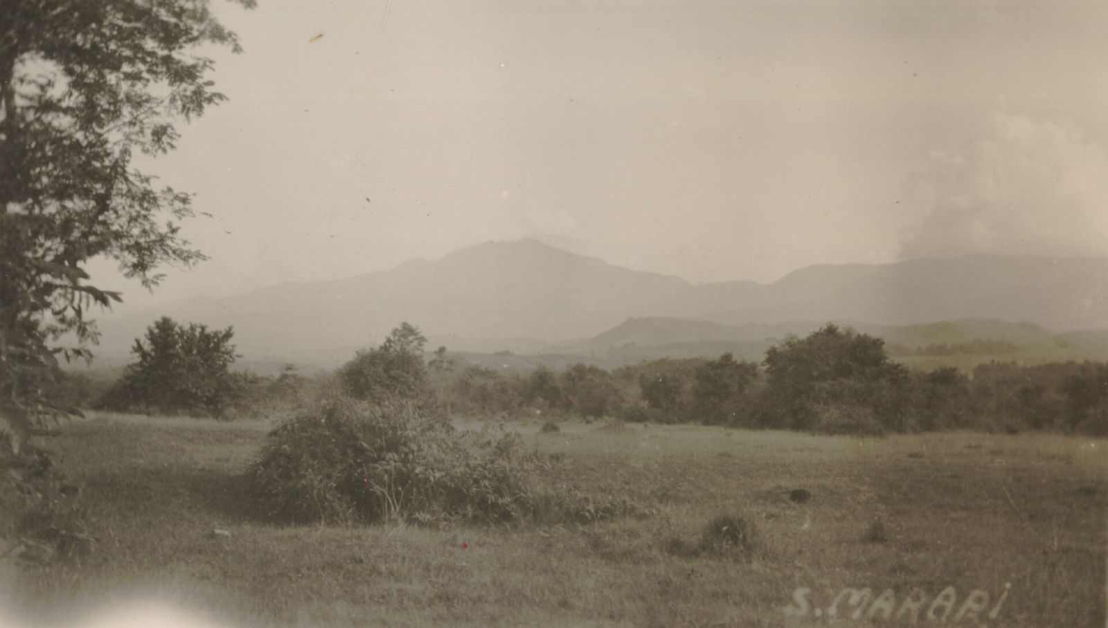 Foto: tidak diketahui · Wikimedia Commons · CC BY 4.0
Gunung Sorik Marapi
📍 Puncak Sorik Marapi, Kabupaten Mandailing NatalAn active volcano, 2,145 m high, in Batang Gadis National Park with a volcanic lake at its summit. The last recorded eruption was in 1987.
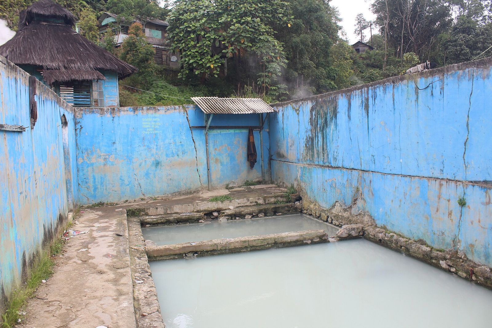 Foto: Nasution007 · Wikimedia Commons · CC BY-SA 4.0
Pemandian Air Panas Sibanggor
📍 Puncak Sorik Marapi, Kabupaten Mandailing NatalA sulphurous hot spring in Sibanggor Tonga village used as a bathing place. It lies directly opposite Mount Sorik Marapi.
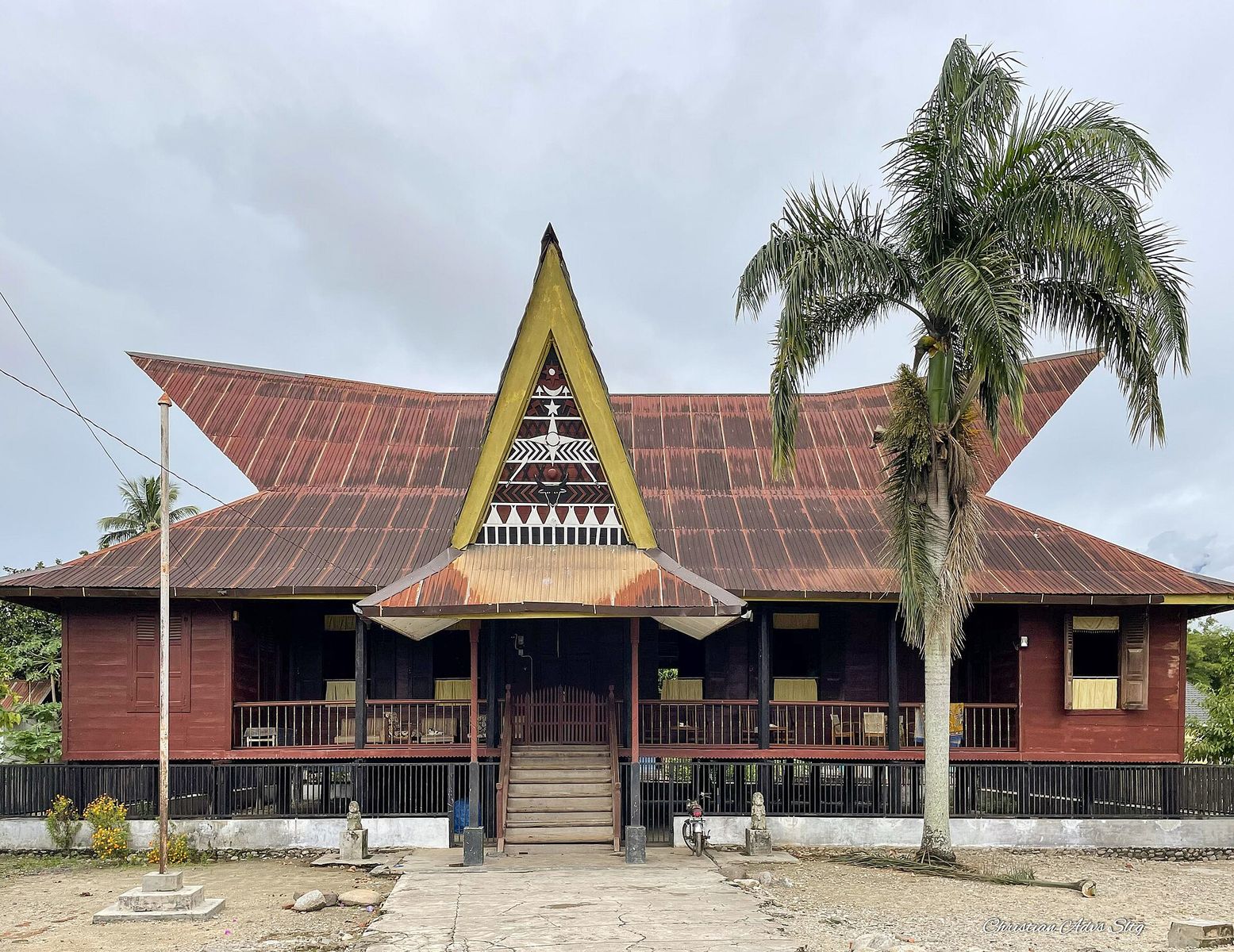 Foto: Christian Advs Sltg · Wikimedia Commons_(01).jpg) · CC BY-SA 4.0
Bagas Godang Panyabungan Tonga
📍 Panyabungan, Kabupaten Mandailing NatalThe Bagas Godang in Panyabungan Tonga is listed as one of Mandailing Natal Regency's tourist attractions. Bagas Godang is the king's great house, formerly accompanied by a Sopo Godang and the Alaman Bolak courtyard.
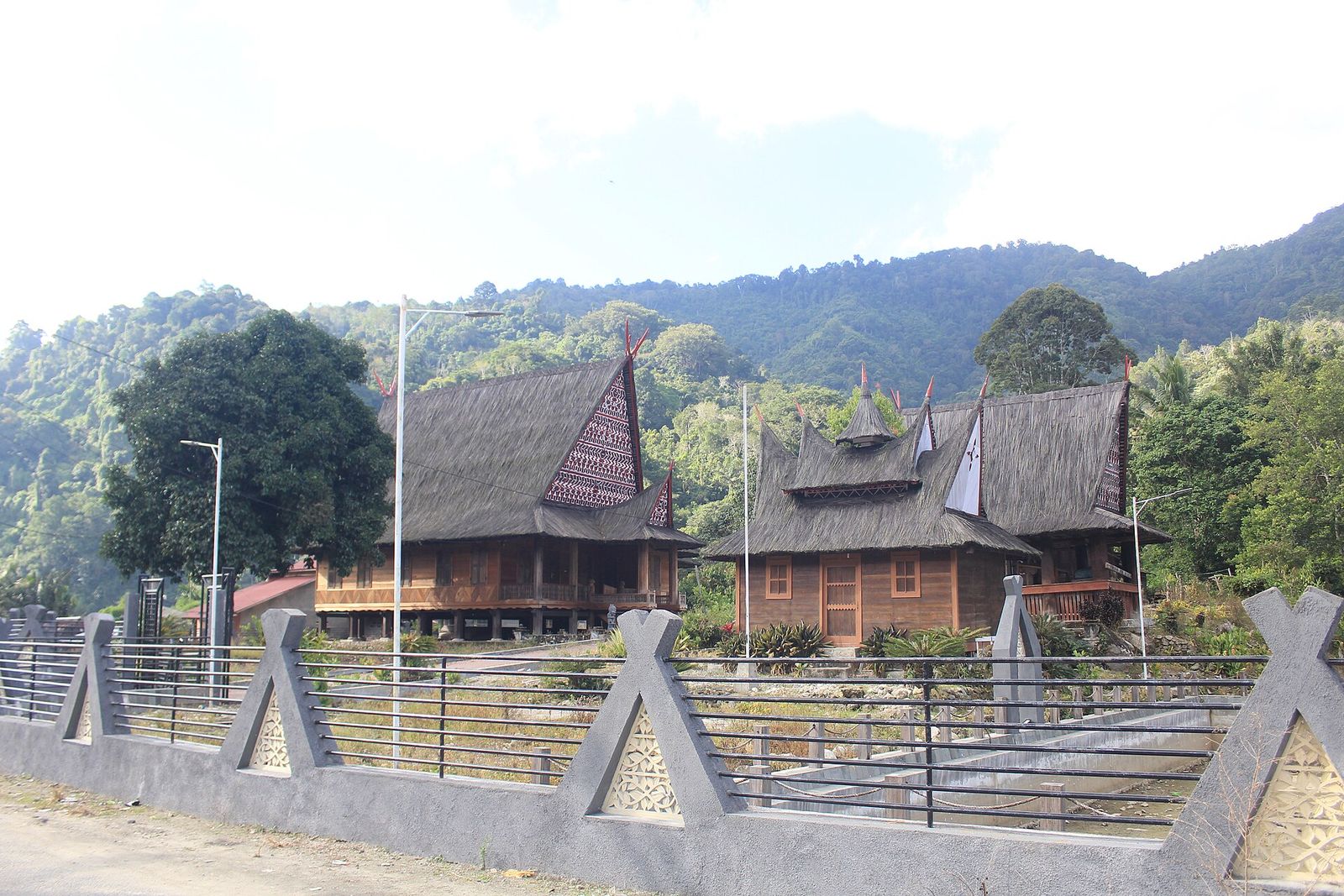 Foto: Nasution007 · Wikimedia Commons · CC BY-SA 4.0
Bagas Godang Huta Godang
📍 Ulu Pungkut, Kabupaten Mandailing NatalThe Bagas Godang and Sopo Godang complex in Huta Godang, Ulu Pungkut, is on Mandailing Natal's list of tourist attractions ('Bagas Godang Ulu Pungkut'). Huta Godang is also the birthplace of Raja Junjungan Lubis, a former Governor of North Sumatra.
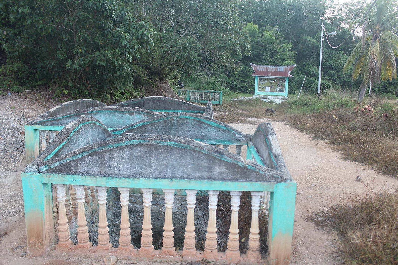 Foto: Nasution007 · Wikimedia Commons · CC BY-SA 4.0
Kolam Sampuraga
📍 Panyabungan Barat, Kabupaten Mandailing NatalA pond in Sirambas village associated with the legend of Sampuraga, the tale of an ungrateful son handed down through the generations in Mandailing. The pond is on Mandailing Natal Regency's list of tourist attractions.
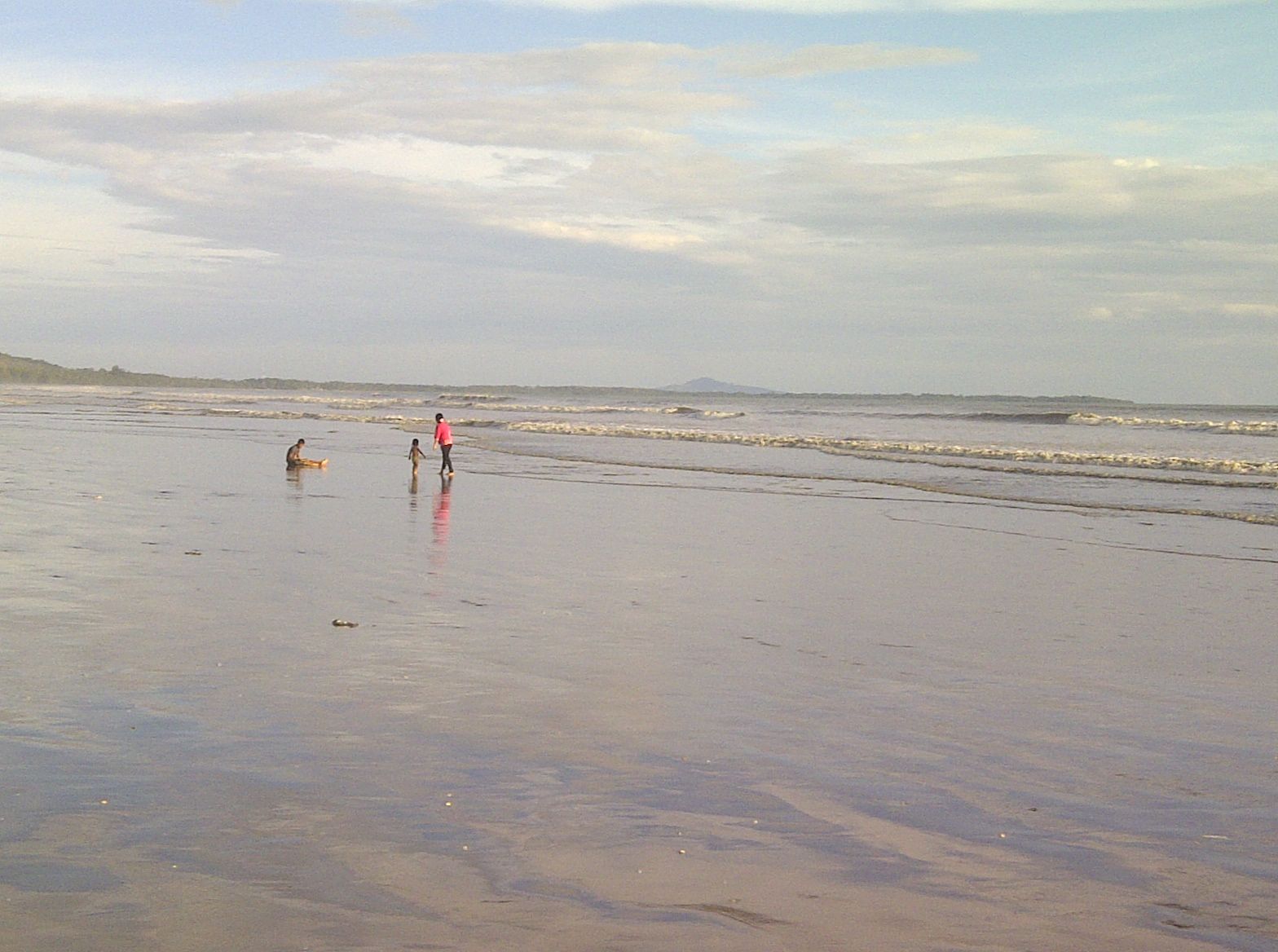 Foto: Andra Aliyev · Wikimedia Commons · CC BY-SA 4.0
Pantai Natal
📍 Natal, Kabupaten Mandailing NatalNatal is an old port town on the west coast of North Sumatra, long a trading base and strongly influenced by Minangkabau culture. Pantai Galon in Natal is on the regency's list of tourist attractions.
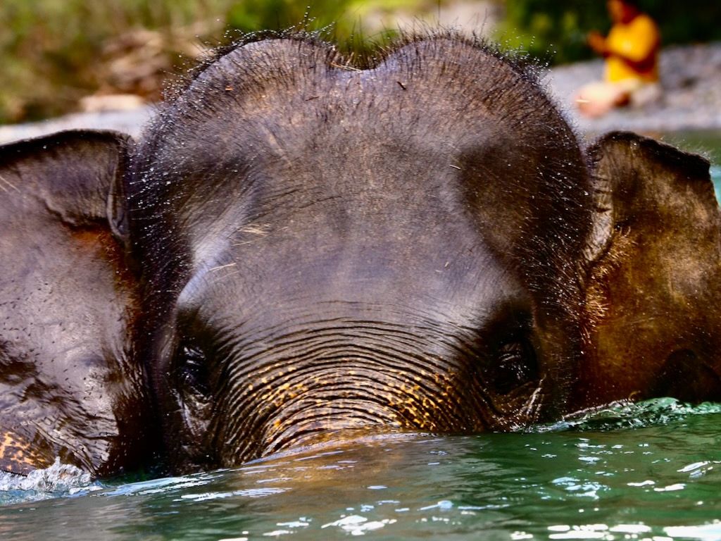 Foto: tangkahan.com
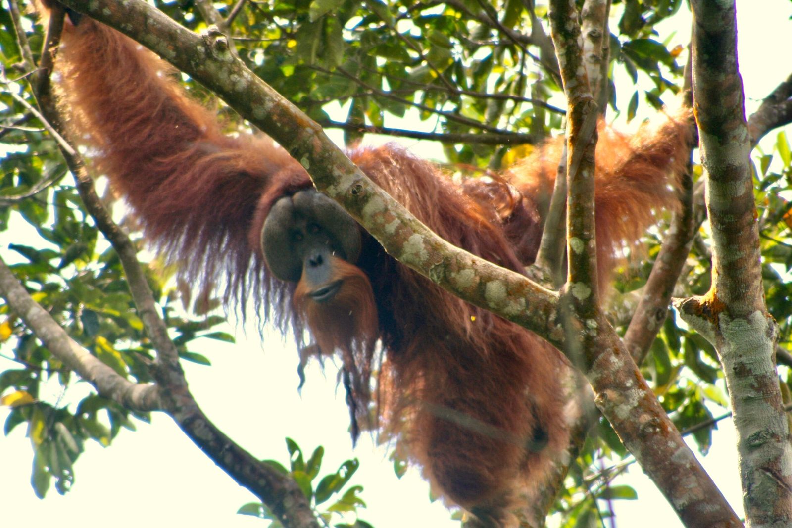 Foto: tangkahan.com — orangutan
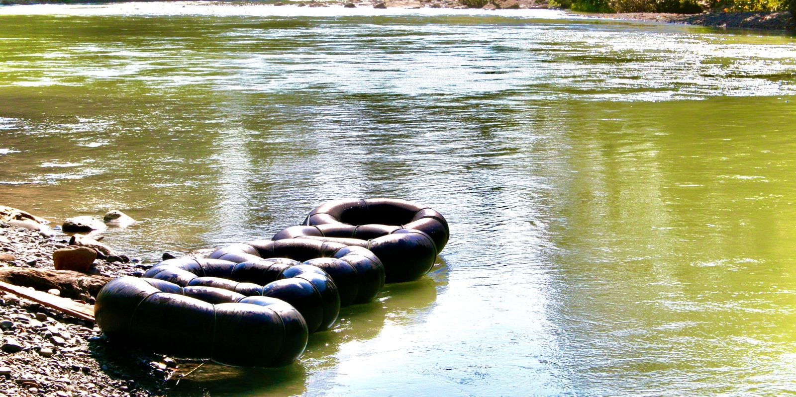 Foto: tangkahan.com — tubing
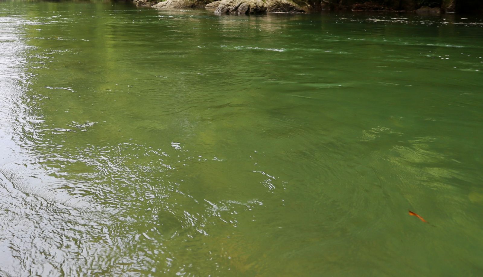 Foto: tangkahan.com
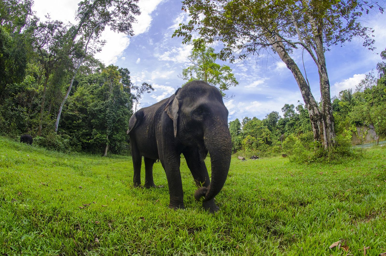 Foto: kusuma wijaya · Wikimedia Commons · CC BY-SA 4.0
Tangkahan
📍 Batang Serangan, LangkatEco-village on the edge of Gunung Leuser National Park, where the Batang Serangan and Buluh rivers meet. Sumatran elephants are bathed in the river; there is jungle trekking, tubing, waterfalls and hot springs, and wild orangutans live here too.
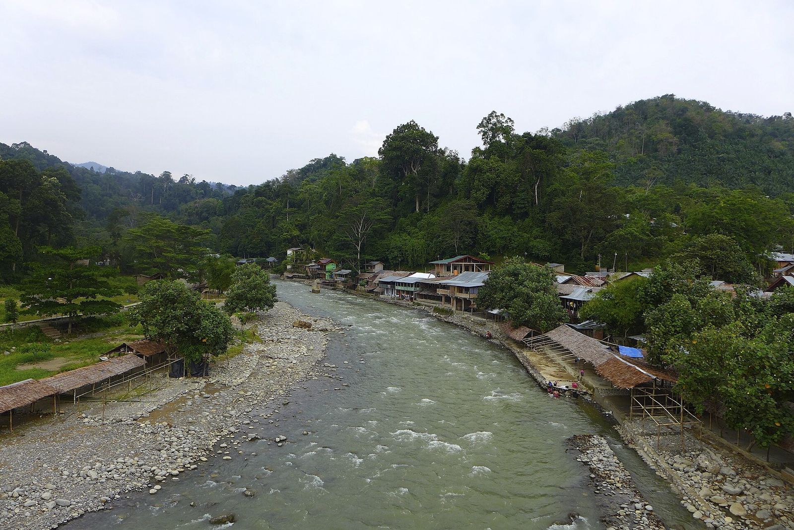 Foto: Madeleine Holland · Wikimedia Commons · CC BY 2.0
Bukit Lawang
📍 Bahorok, LangkatVillage on the Bahorok River, the eastern gateway to Gunung Leuser National Park. An orangutan rehabilitation centre was founded here in 1973; today semi-wild and wild orangutans can be seen on guided treks.
Air Panas Simolap
📍 Kutambaru, LangkatHot spring in Kaperas village, Kutambaru, in upland Langkat on the border with the Karo highlands. Listed among Langkat's attractions together with the Marike cave and waterfall.
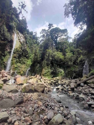 Foto: Sophia Guevara · Wikimedia Commons · CC BY-SA 4.0
Air Terjun Dua Warna
📍 Sibolangit, Deli SerdangWaterfall in the Sibolangit forest with two drops: the first about 50 m with blue-green water, the second about 20 m with clear water. The colour comes from minerals such as sulphur, so the water is not for drinking.
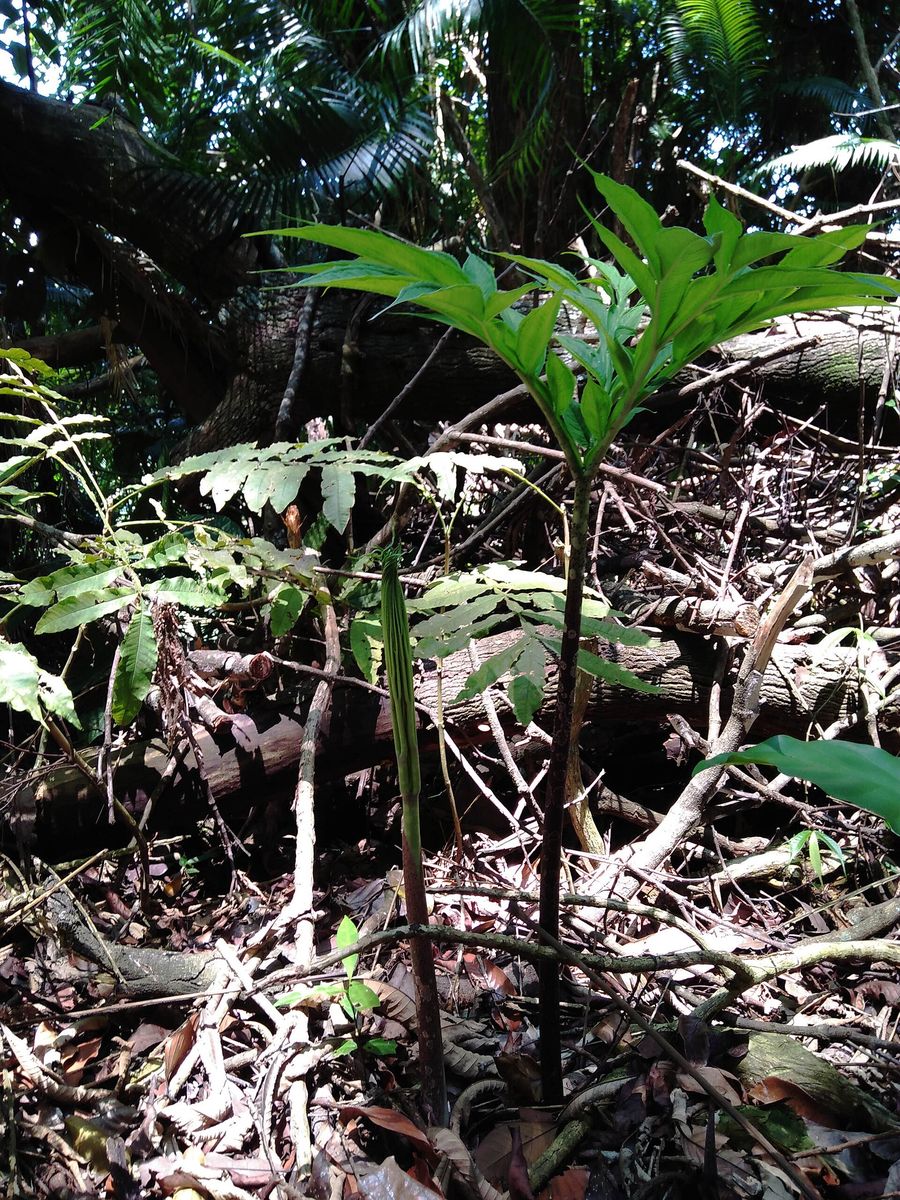 Foto: Restu Berkat Gea · Wikimedia Commons · CC BY-SA 4.0 — daun Amorphophallus titanum
Taman Wisata Alam Sibolangit
📍 Sibolangit, Deli SerdangForest on the Medan–Berastagi road, founded in 1914 as the Sibolangit Botanic Garden, a branch of Bogor Botanic Gardens. Part of it has been a nature park since 1980; the titan arum (Amorphophallus titanum) grows here.
Bumi Perkemahan Pramuka Sibolangit
📍 Sibolangit, Deli SerdangScout campground at the edge of the Sibolangit forest, host of the 2nd National Jamboree in July 1977. Treks to the Dua Warna waterfall also start here.
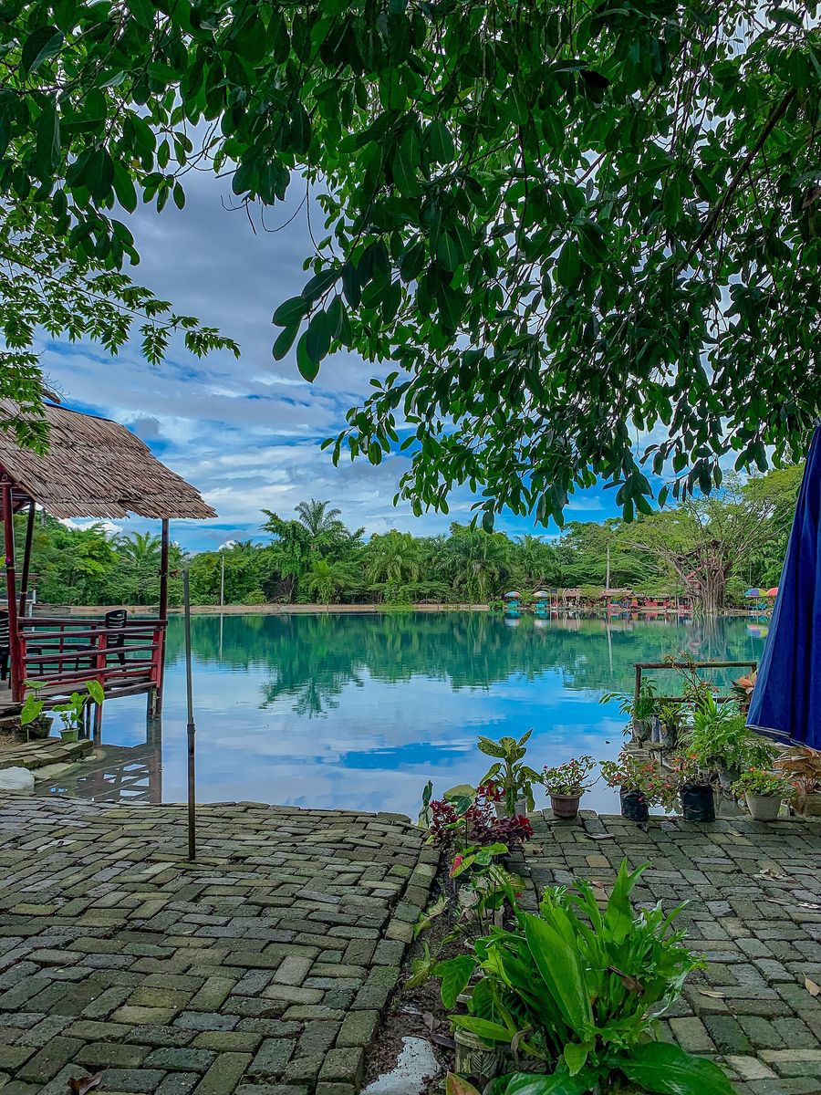 Foto: Sophia Guevara · Wikimedia Commons · CC BY-SA 4.0
Danau Linting
📍 Sinembah Tanjung Muda Hulu, Deli SerdangSmall turquoise lake formed by hydrothermal activity. The sulphur keeps the water warm, around 30 °C. Karo and Simalungun people live in the surrounding area.
Rumah Ladang Pamah Semelir
📍 Sei Bingai, LangkatLeisure spot with bamboo houses and walkways among the trees in Pamah Semelir hamlet, Telagah village, at the foot of the Bukit Barisan, with places to relax, photo spots and pools; overnight stays possible.
Kolam Abadi Pelaruga
📍 Sei Bingai, LangkatNatural bathing spot of clear spring-fed pools among rocks, on the Telagah road near Rumah Galuh and the Teroh-teroh waterfall.
Pemandian Sikabung-kabung
📍 Sibolangit, Deli SerdangRocky natural pool with clear, cool spring water in Ujung Deleng, Sibolangit; good for relaxing and camping.